Chapter 11: We Got Lost on the Hike to Ritland Crater
- Doug Newton

- Feb 24
- 5 min read
Our Ritland Crater Hike Didn’t Go as Planned.

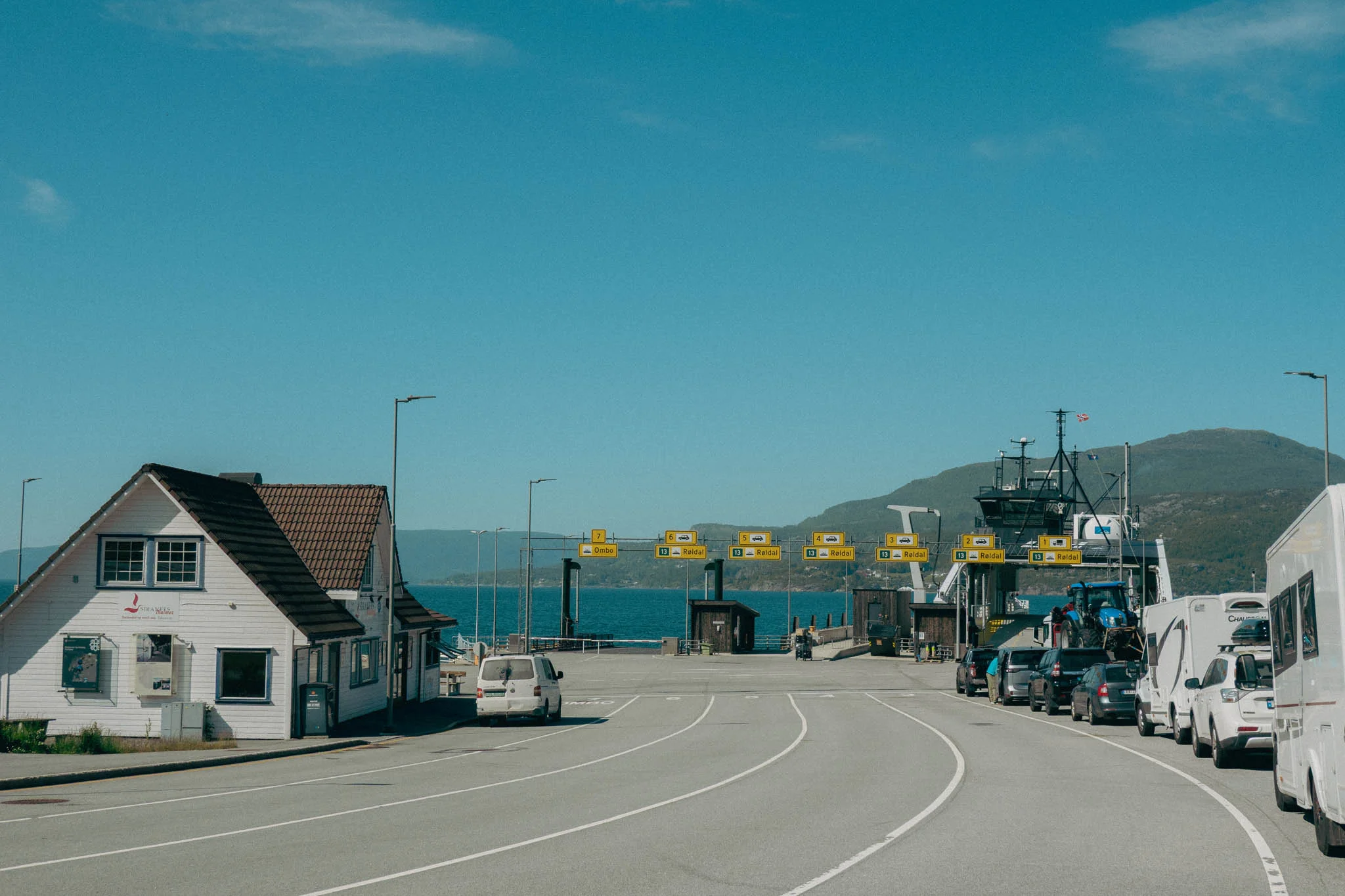
After waking up in our hammocks on the dock at Prekestolen Basecamp, we packed up our stuff, paddled across the water, had a quick breakfast and coffee, then loaded up the car and took for a scenic hour-and-a-half drive through the countryside to the Ritland Crater Trailhead.

Admittedly, of all the hikes we had planned in Norway, this was the one I was least excited about. For whatever reason, when I was researching this hike online before the trip, the pictures didn’t look overwhelmingly stunning compared to the other hikes, and I didn’t feel compelled to do it. Nonetheless, we decided to make the trek, and I’m very glad we did. The pictures simply don’t do the scenery justice.
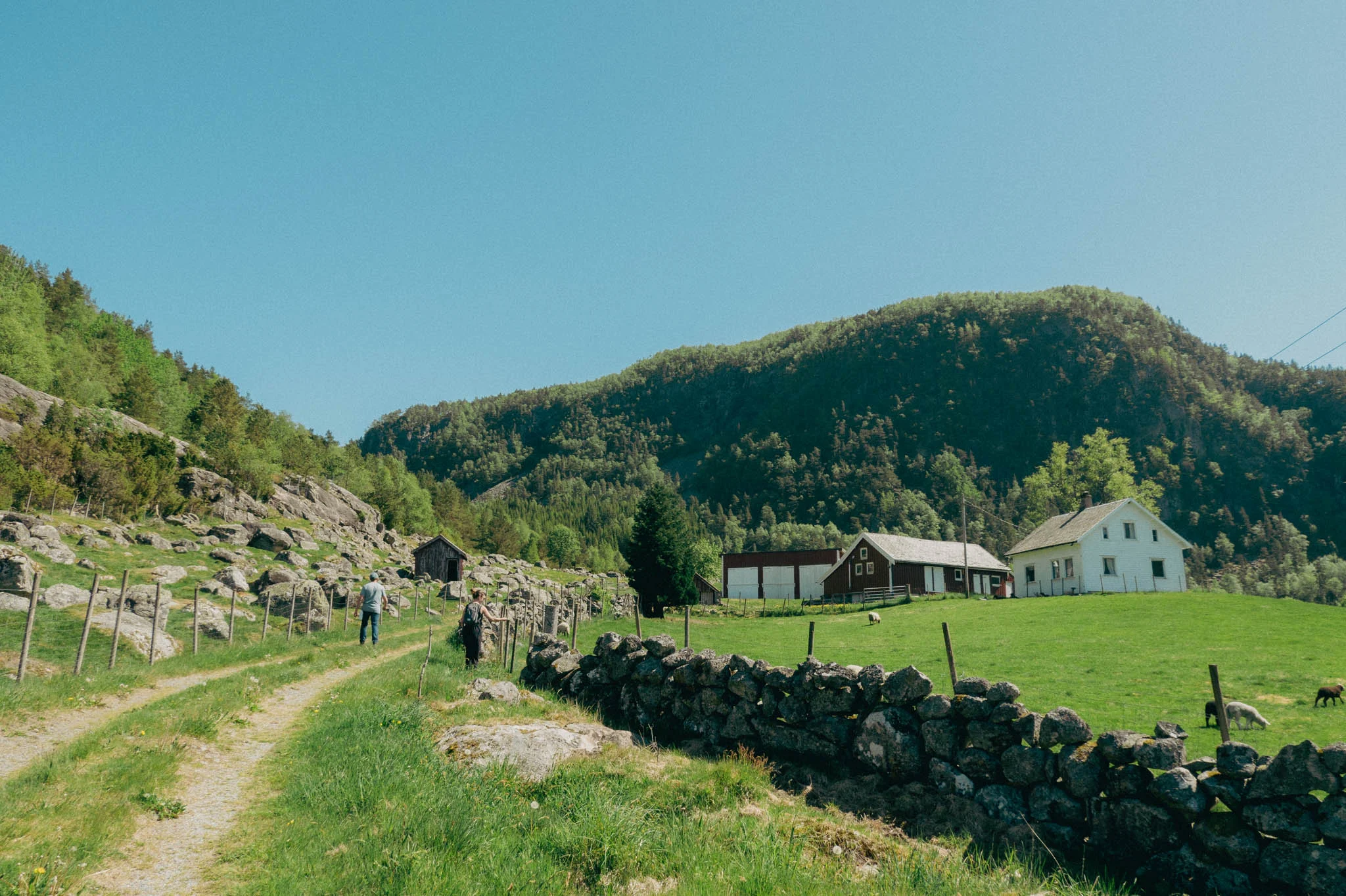
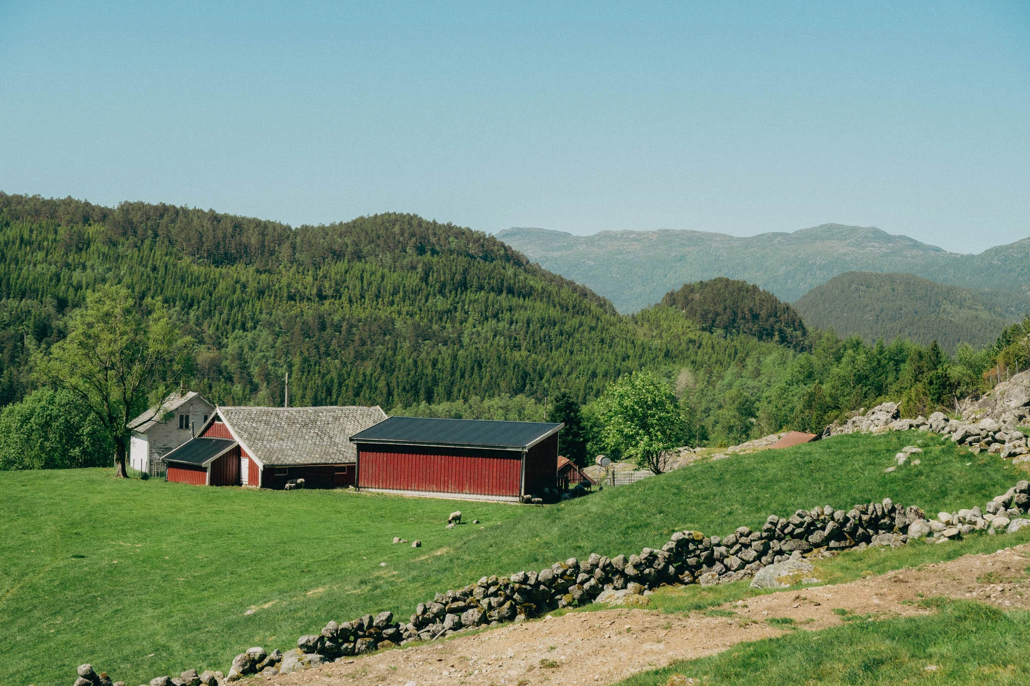
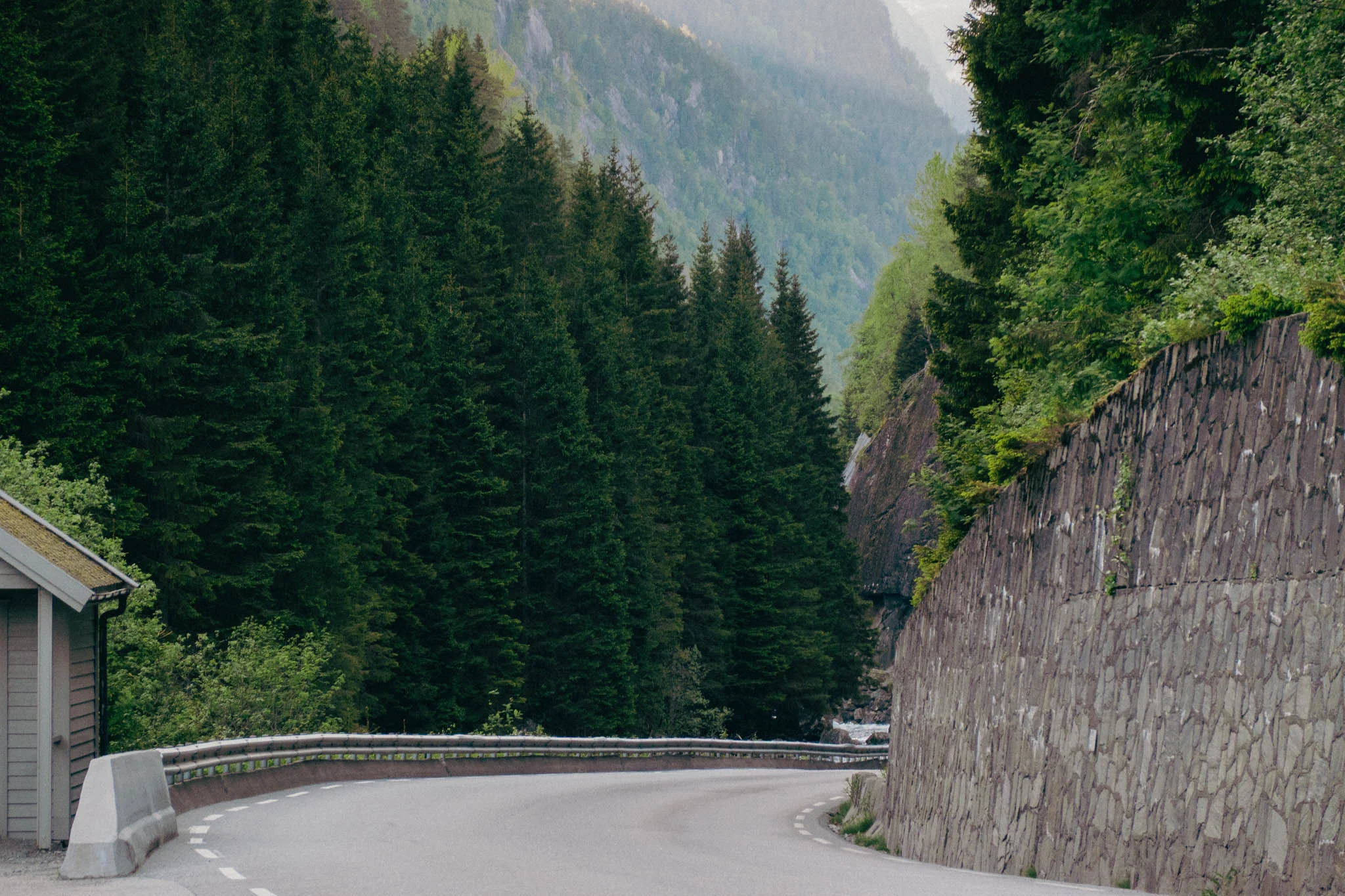
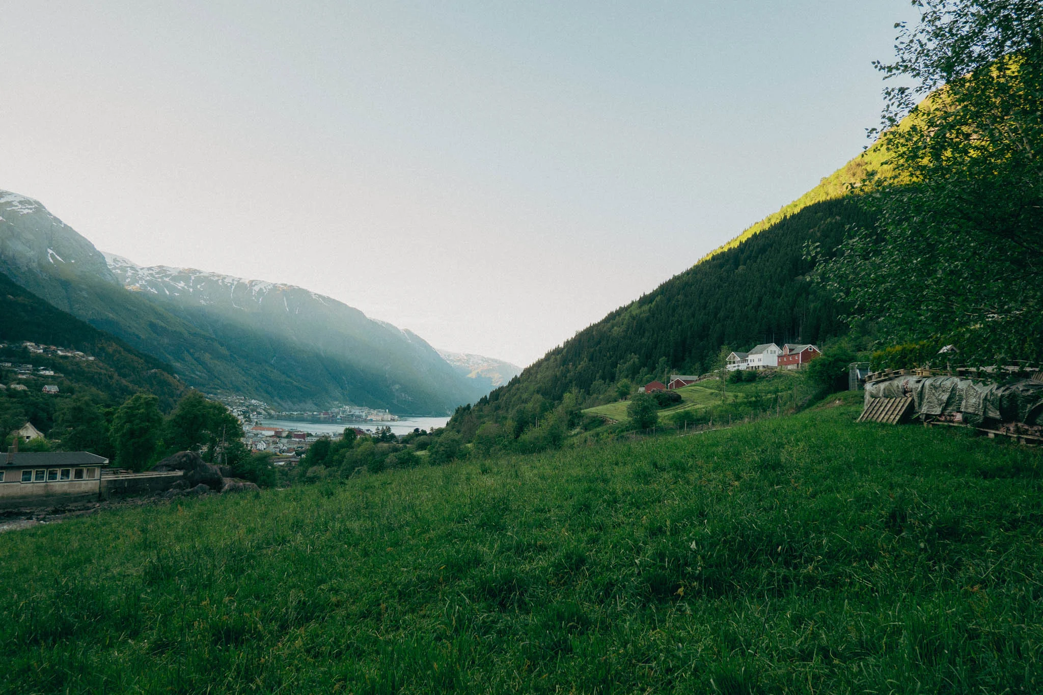
We wound our way through the beautiful Norwegian mountains, surrounded by lush green trees and farmland. Finally, we came upon what seemed like a parking lot for the trailhead. However, it wasn’t well marked and our GPS said we could drive farther up the road to reach the start of the hike.
We spotted a narrow, unmarked gravel road, and hesitantly decided to drive down it to see where it would lead us. About a quarter of a mile in, we quickly realized we were not in the right place. The road narrowed to just slightly wider than the wheelbase of the car, and it began to feel like we were on private property. To make matters worse, on either side of the gravel road was about a four-foot drop-off into a ditch.

With no place to turn around, I decided to reverse the car to get back to the parking lot we had initially passed. As I began to back up I felt the right rear tire dip off the road and start descending down the drop-off toward the ditch. I quickly stopped and tried to pull forward, but it was too late, the tires were spinning in the grass on the small hill leading into the ditch.
The only option was to continue reversing farther into the ditch, so we ended up with the two passenger-side tires in the ditch and the two driver-side tires on the edge of the gravel road. At this point, Kelly and Hunter got out to help guide me. I continued reversing, trying to get the passenger-side rear tire up the hill and back onto the road. As I did this, the driver-side rear tire came up off the ground about three feet, which concerned Hunter and Kelly that the car might flip. Fortunately, I kept reversing and got the right rear tire back on the road. Then the front right tire followed suit, and we had all four wheels back on solid ground.
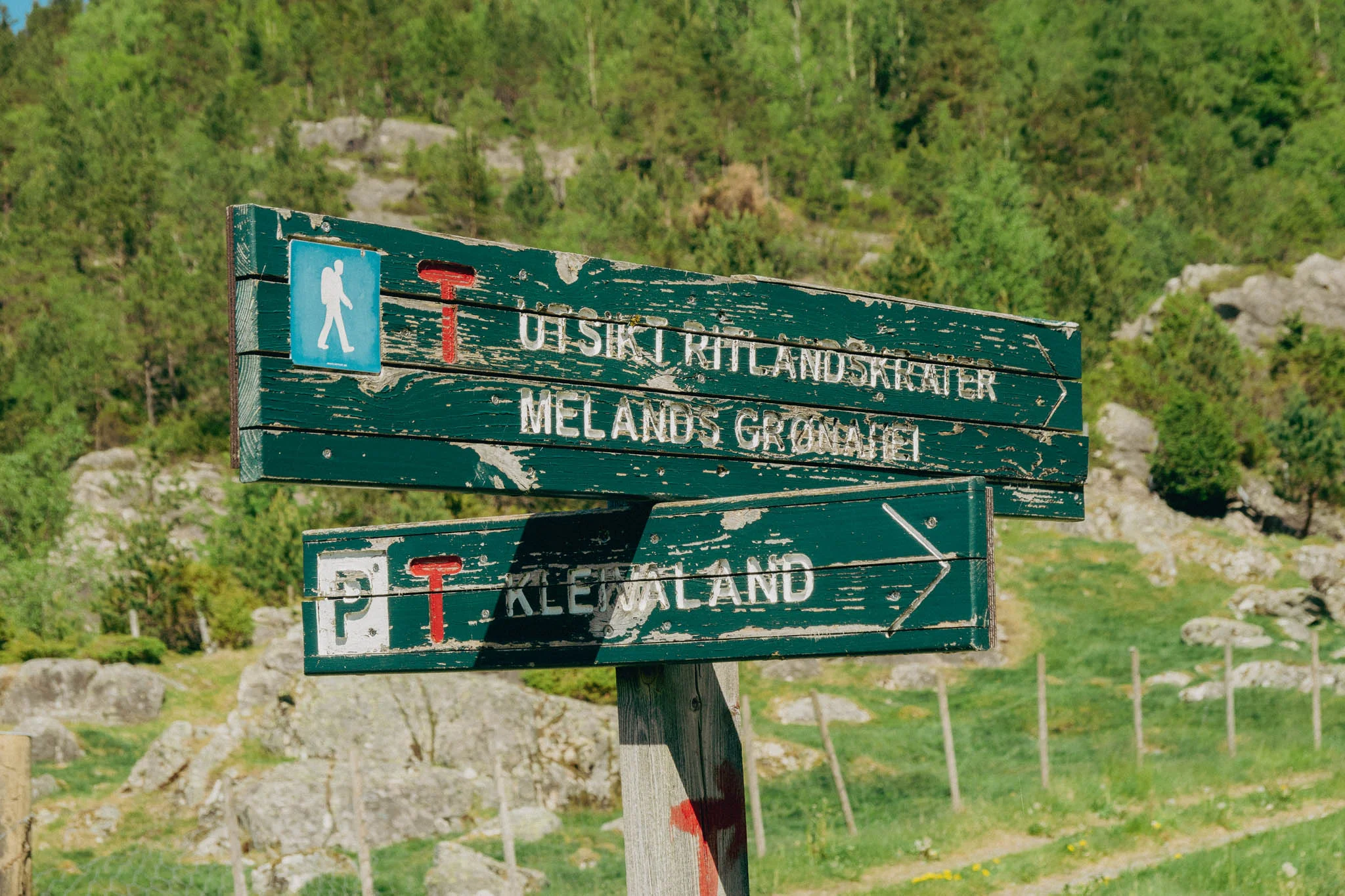
Everyone got back in the car, and after narrowly avoiding flipping our rental car, I nervously reversed us back to the parking lot, safe and sound. After our impromptu off-roading excursion, we got our hiking gear out of the car, found a sign for the trail, and took off for our hike.
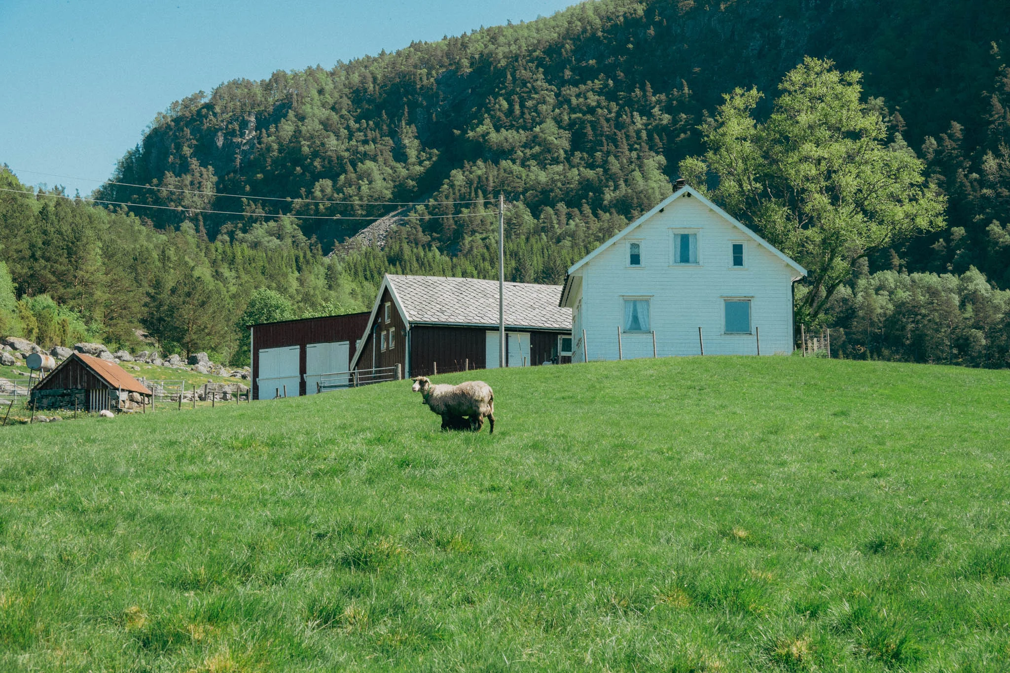
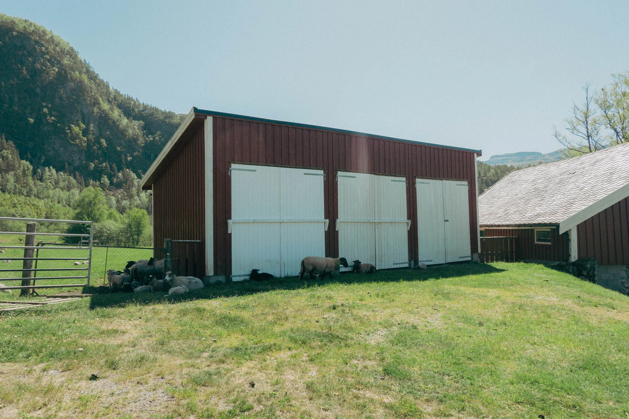
The trailhead starts on a private farm in the countryside. Coming from the U.S., it felt strange to simply walk onto private property for a hike, but that’s what the sign said, so that’s what we did.
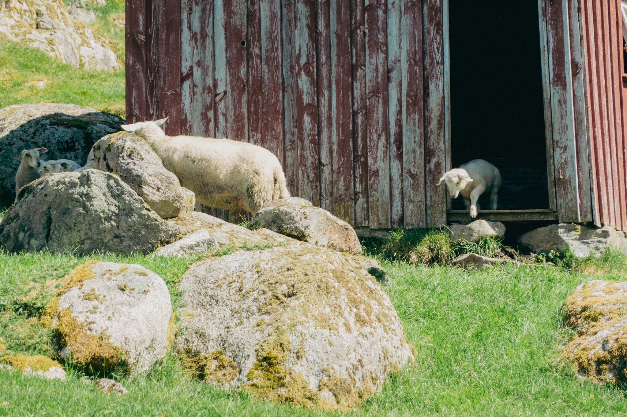
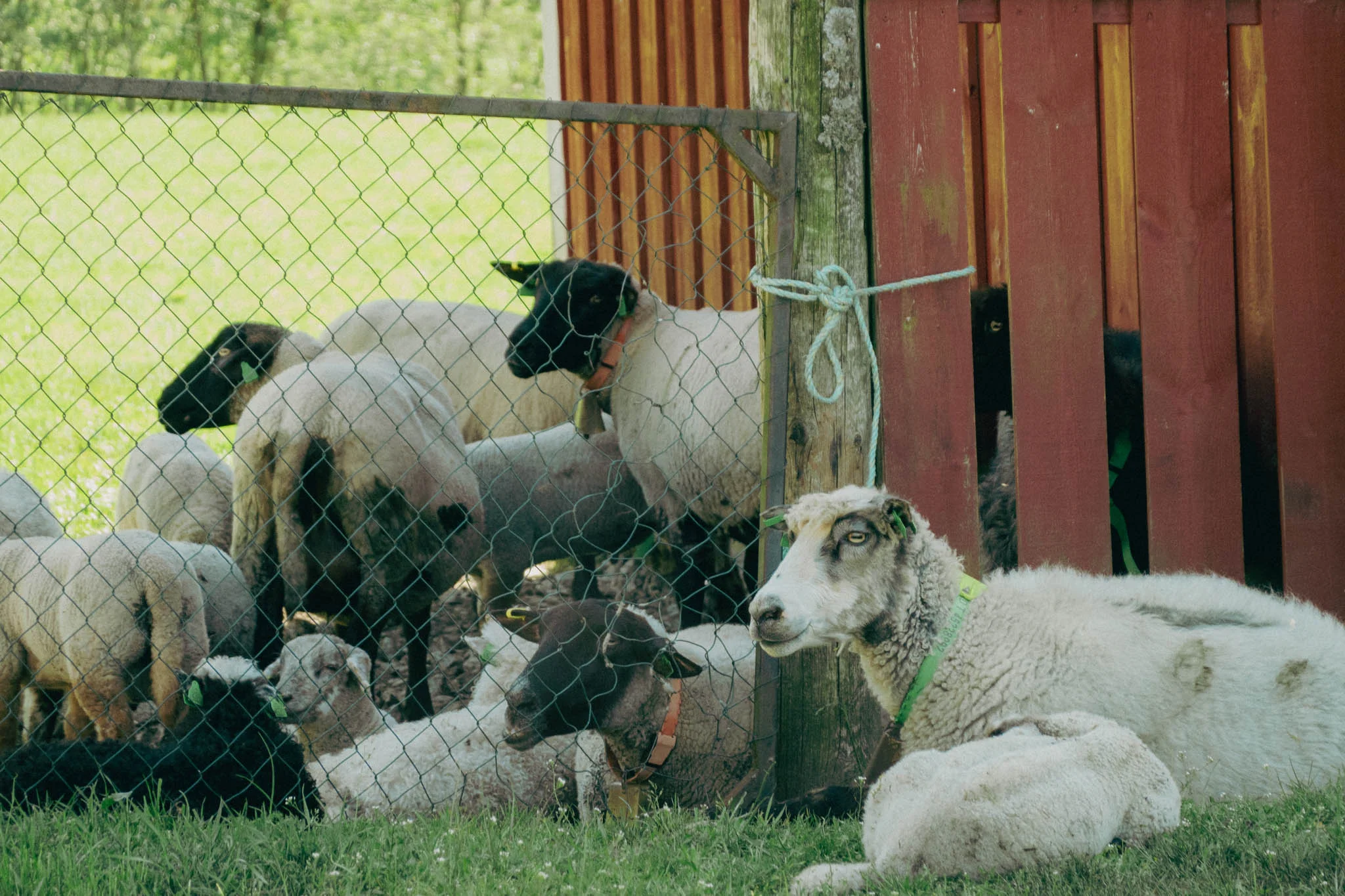
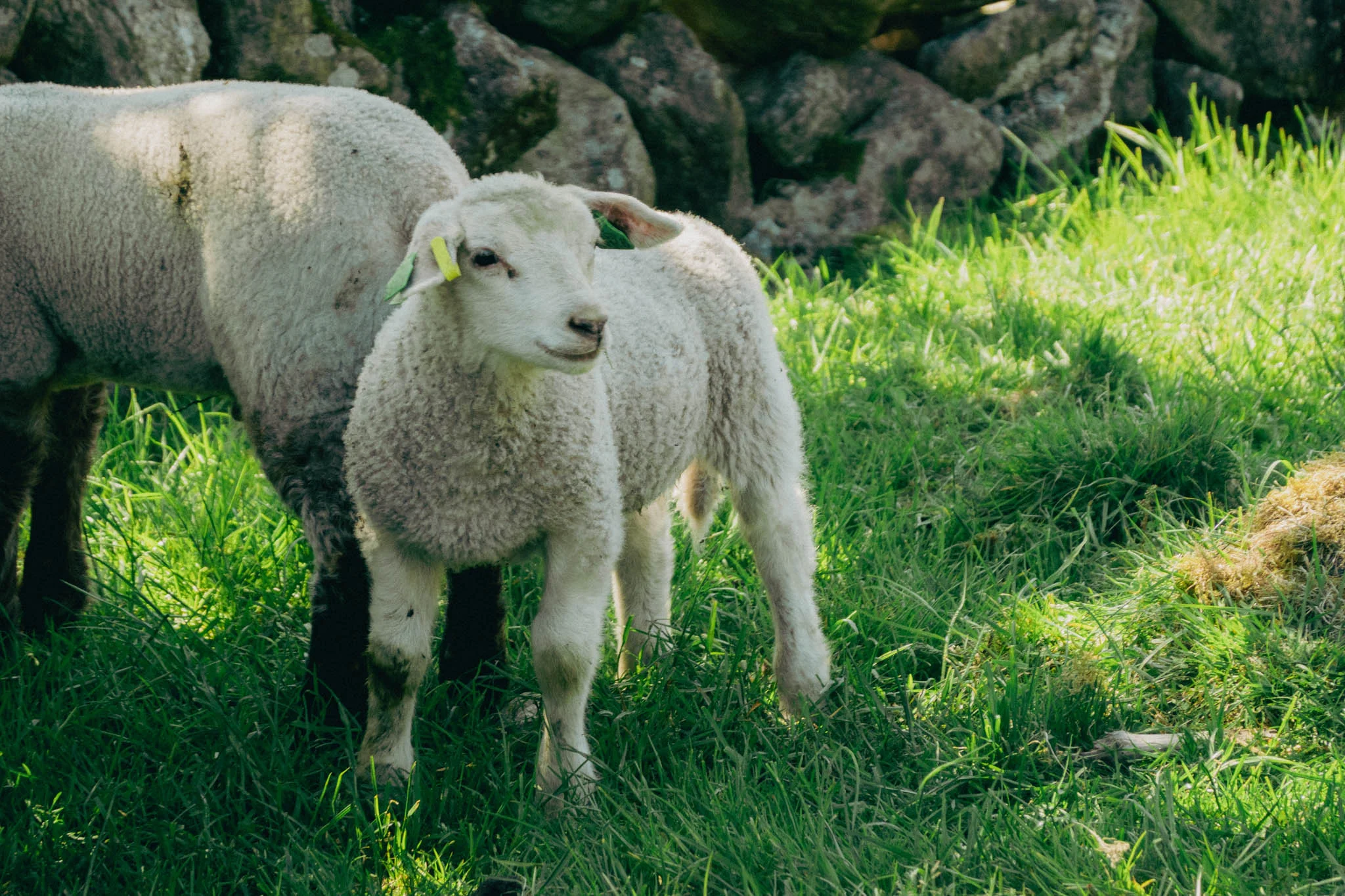
As we trekked through the farmland we came across a barn with a bunch of sheep walking around and lying down in the shade. Many of them had bells on, and we could hear them “baaing” at us as we walked by. It was a noisy encounter, but the baby sheep were adorable, so we stopped to look at them and take some pictures.
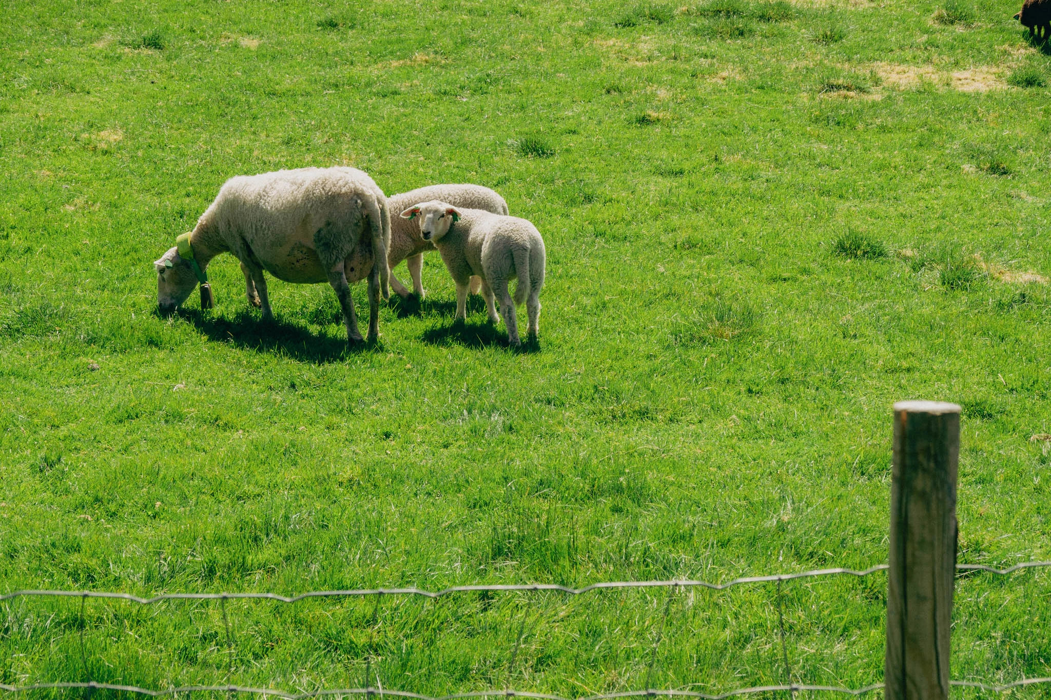

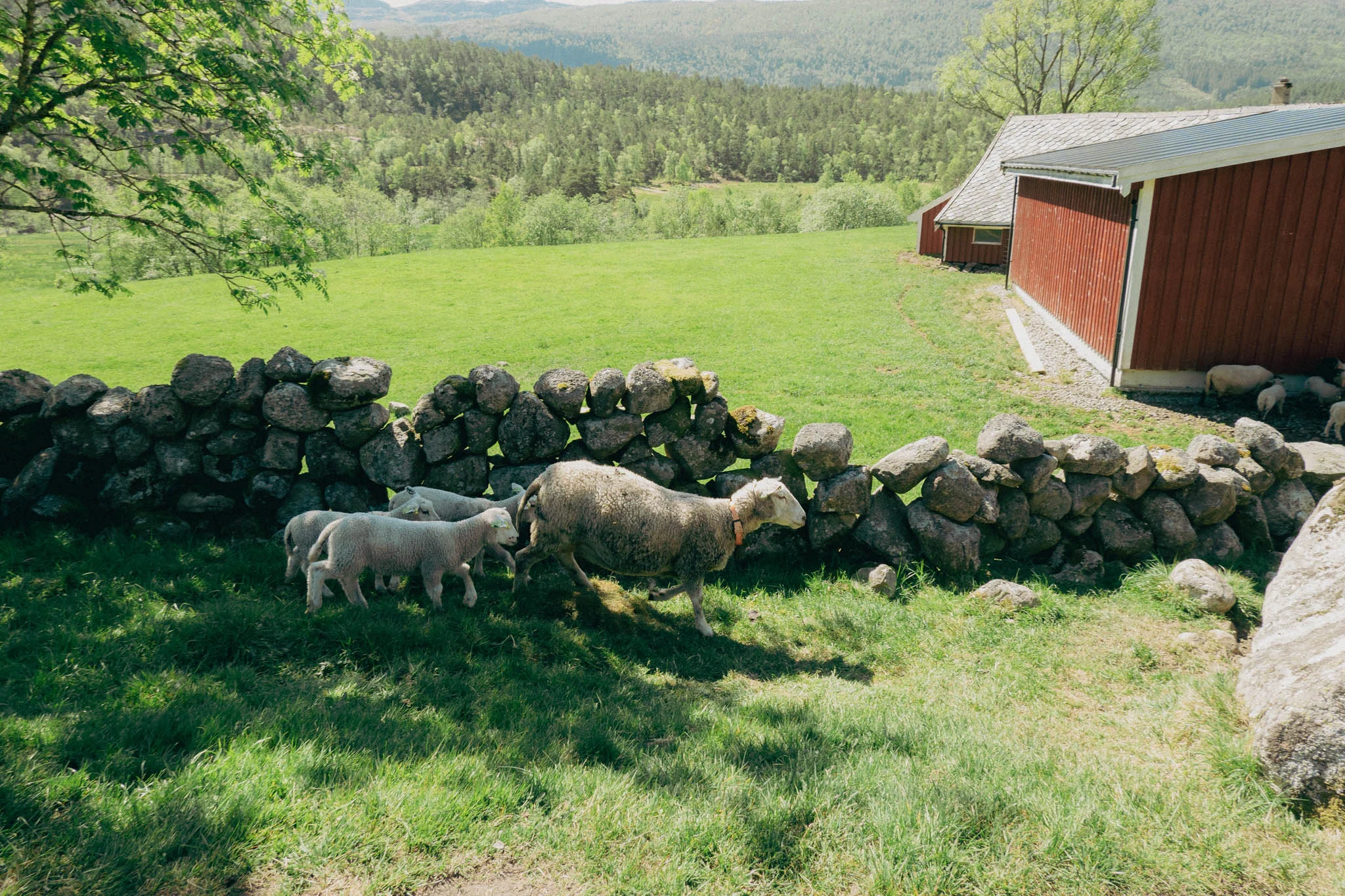
We must have gotten distracted by the baby sheep because, shortly after passing by the farm and continuing up the hill, we lost the trail markers. We knew we needed to keep heading uphill, and Hunter found something that he “thought” was the trail…it was not the trail.
We ended up in a steep climb up the hill through thick brush and dense trees. As we continued climbing, pushing the brush out of our way and ducking and dodging tree branches, it dawned on me that I had never looked up what kind of animals we might encounter in this part of Norway. Too late now.

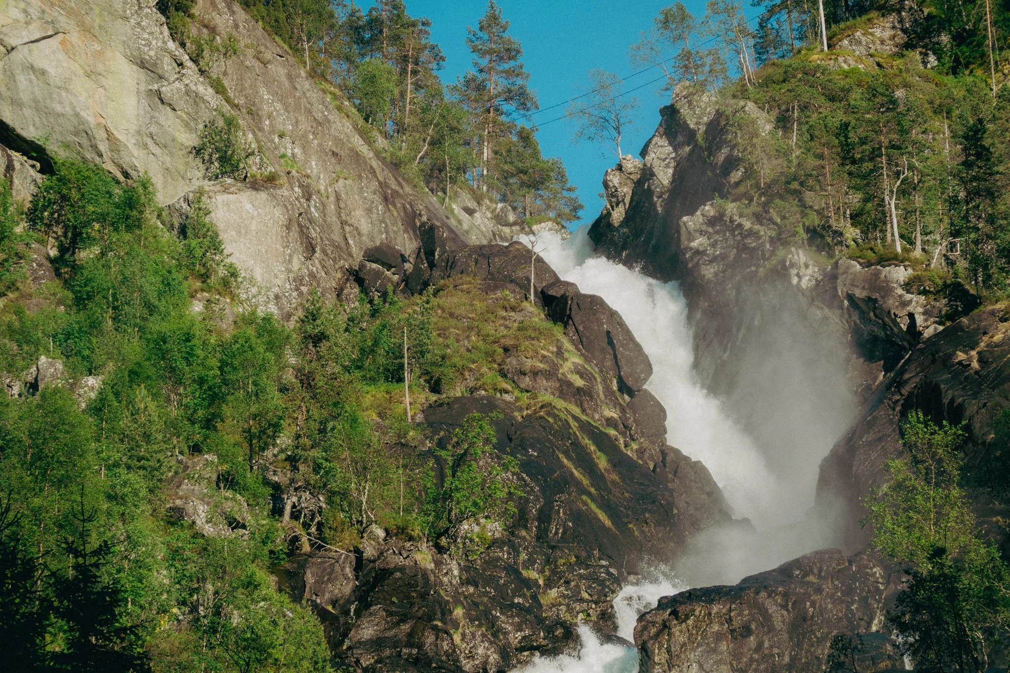
It was hot out for Norway, and the climb was steep and treacherous. We had to stop a couple of times to catch our breath and drink some water before continuing on. Finally, we heard what sounded like a waterfall flowing into a stream, so we started making our way toward the sound, thinking the trail might be near it. Fortunately, after about fifteen minutes of wandering through the woods, Hunter finally exclaimed, “I found the trail.” It was right along the water.

We made our way up the narrow trail out of the woods and came to a wider gravel road that looked exactly like the one we had tried to drive up earlier. I guess our GPS was trying to have us drive the entire hike.

After regrouping on the gravel road for some water and cooling off in the shade, we continued up the steep hill. The majority of the elevation gain was on this gravel road, which was a straight shot uphill with no switchbacks. We powered up the hill, taking breaks when needed, until we reached the top of the ascent and crossed some flat, rocky areas, when the crater came into view.
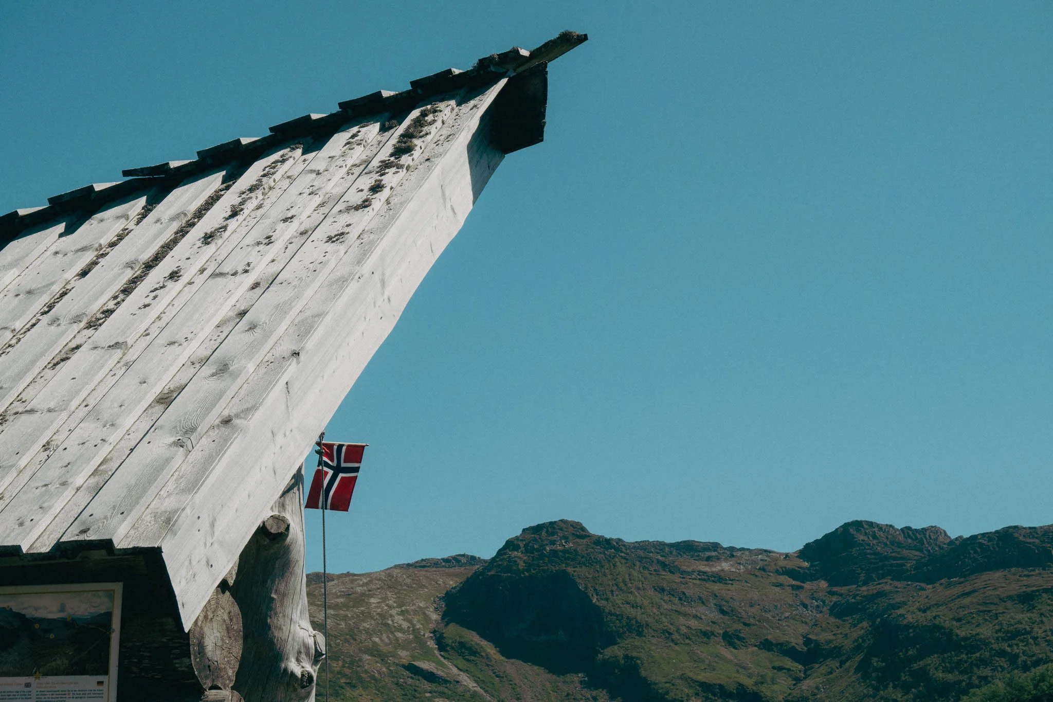
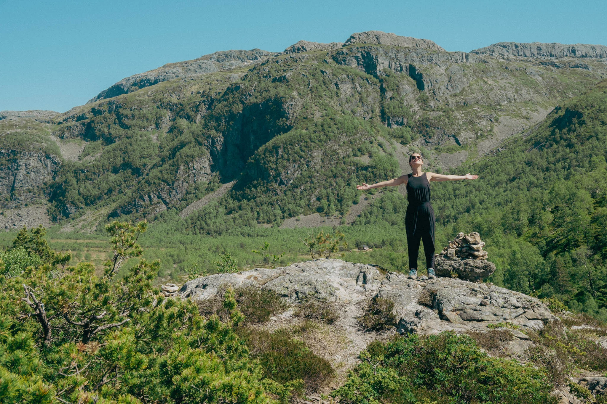
We made our way to a small log shelter with a Norwegian flag and a bench that overlooked the crater. The view was spectacular. The pictures I had seen online didn’t fully capture the vastness of the crater or how large it feels in person. Similarly, the pictures I took don’t do the view justice either. It’s one of those places in the world where you realize how small you are in comparison to Mother Nature.
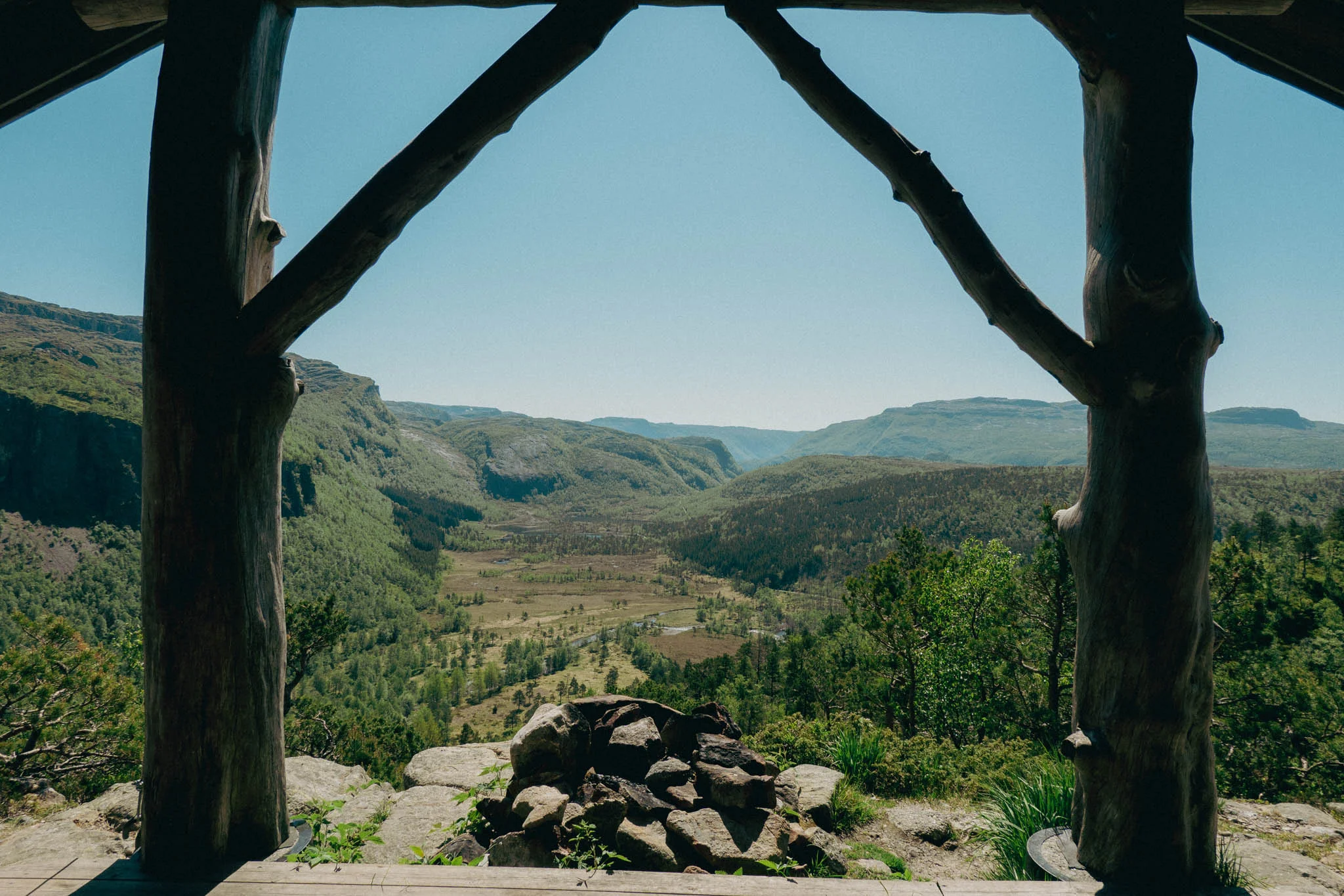
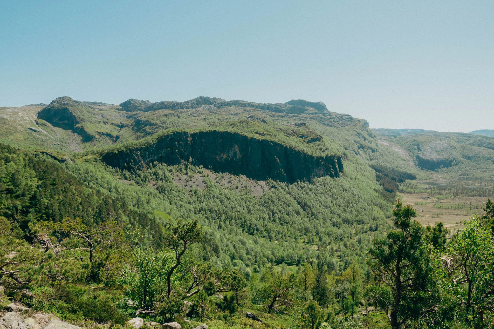
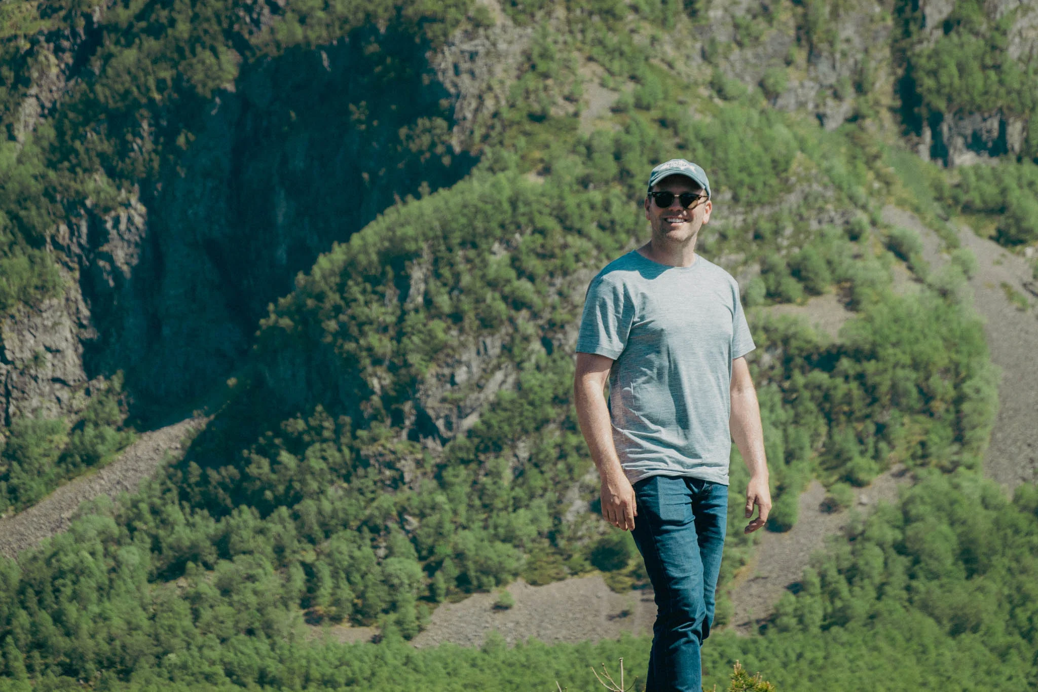
The history behind the crater is even more remarkable. It’s said the crater was formed when a meteorite, estimated to be 330 feet in diameter, struck the earth over 500 million years ago. Those are some staggering numbers when you think about it.
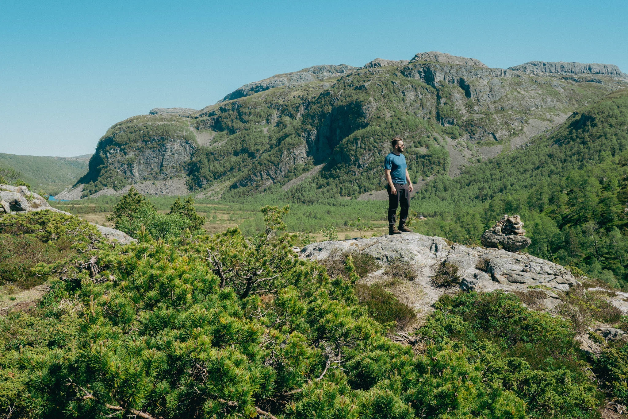
We enjoyed the view from the top for a while and relaxed on the bench in the shelter, discussing what it must have been like to witness the meteor make impact with the earth. We climbed around on some nearby rocks before deciding to head back down the trail.
As we made our way back down, we realized where we lost the path on our way up. We had definitely been distracted by the baby sheep and weren’t paying attention. Regardless, it made for an entertaining hike.
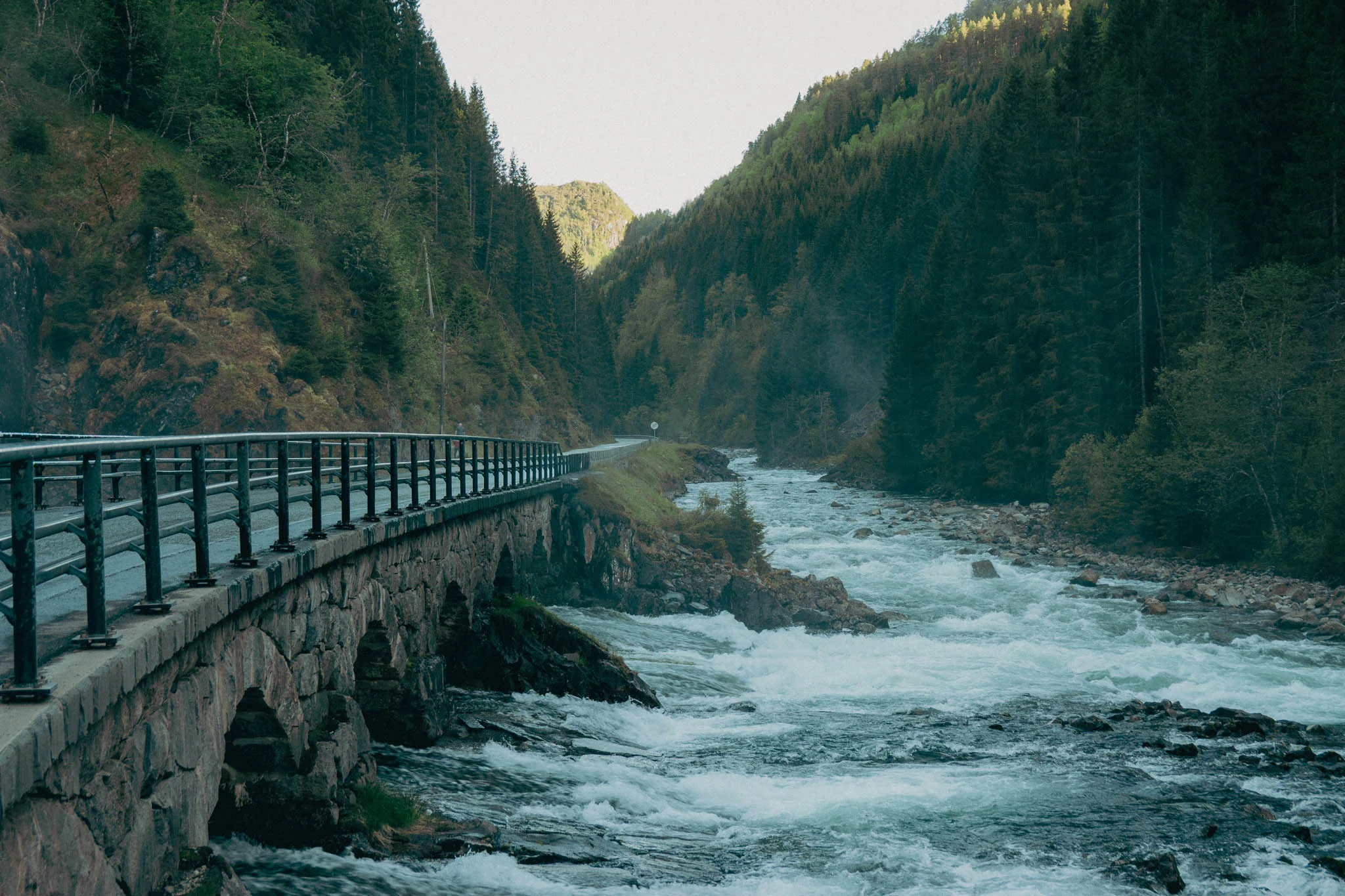
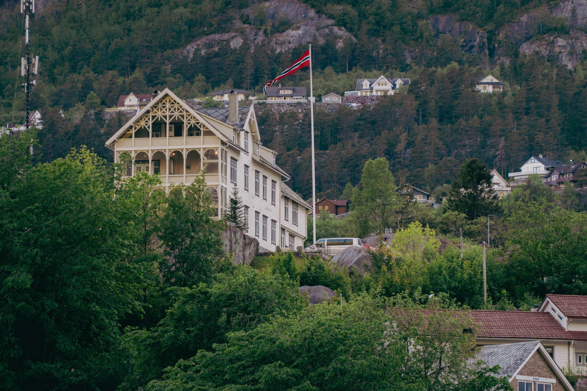
We returned to our car, loaded up our gear, and took off on a three-hour drive north to Odda.

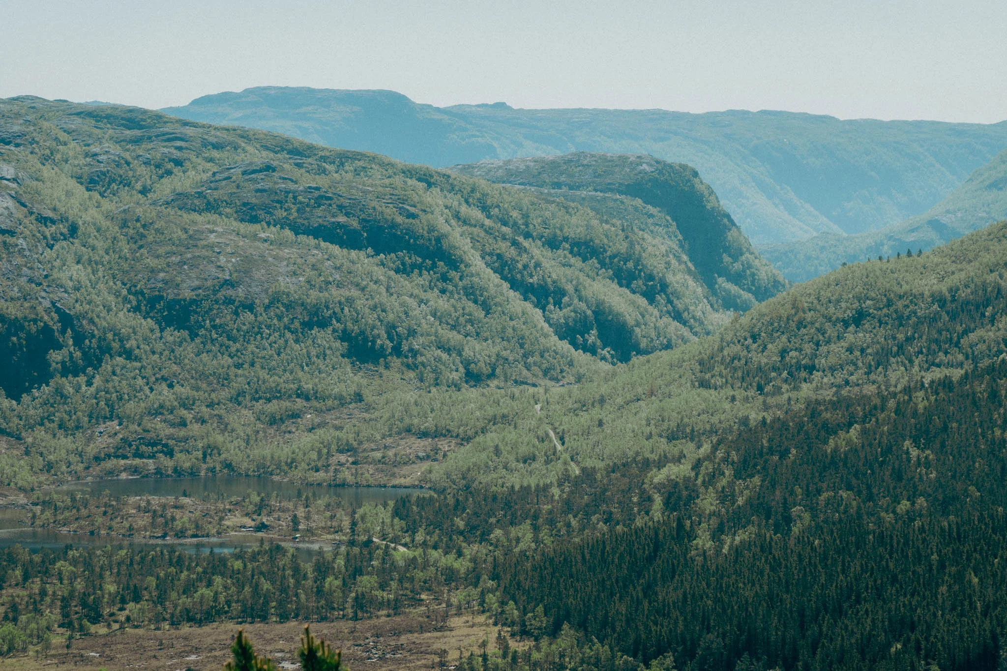
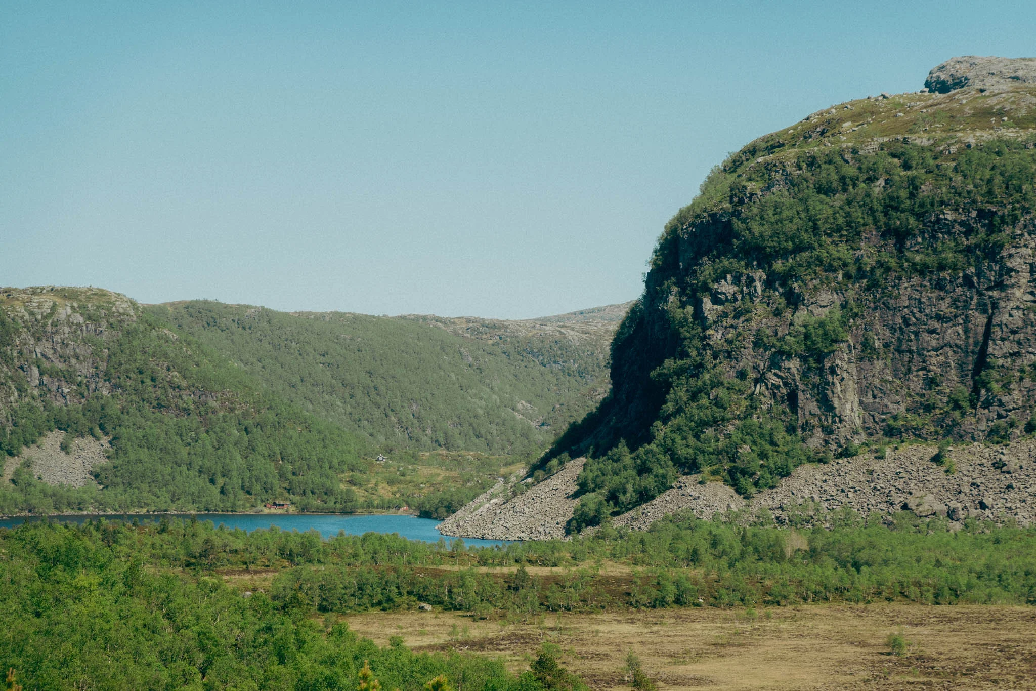
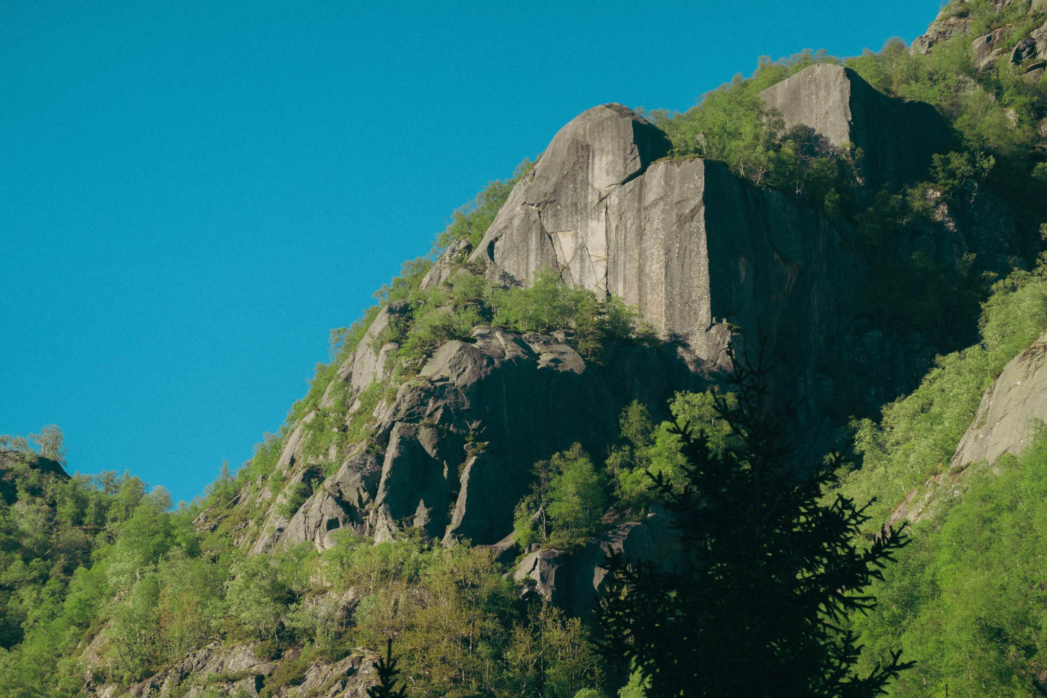
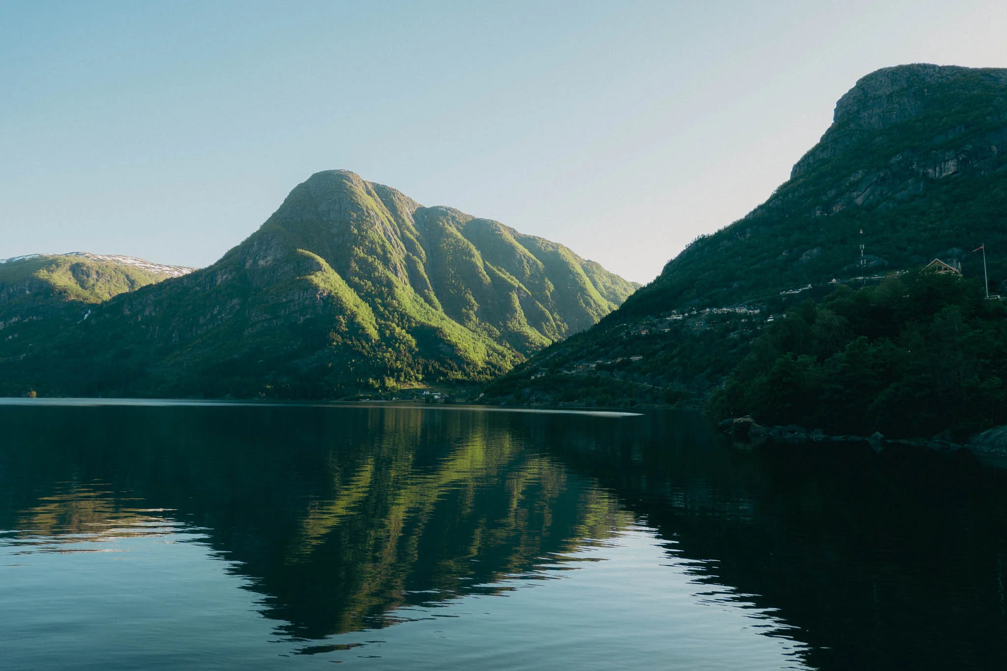
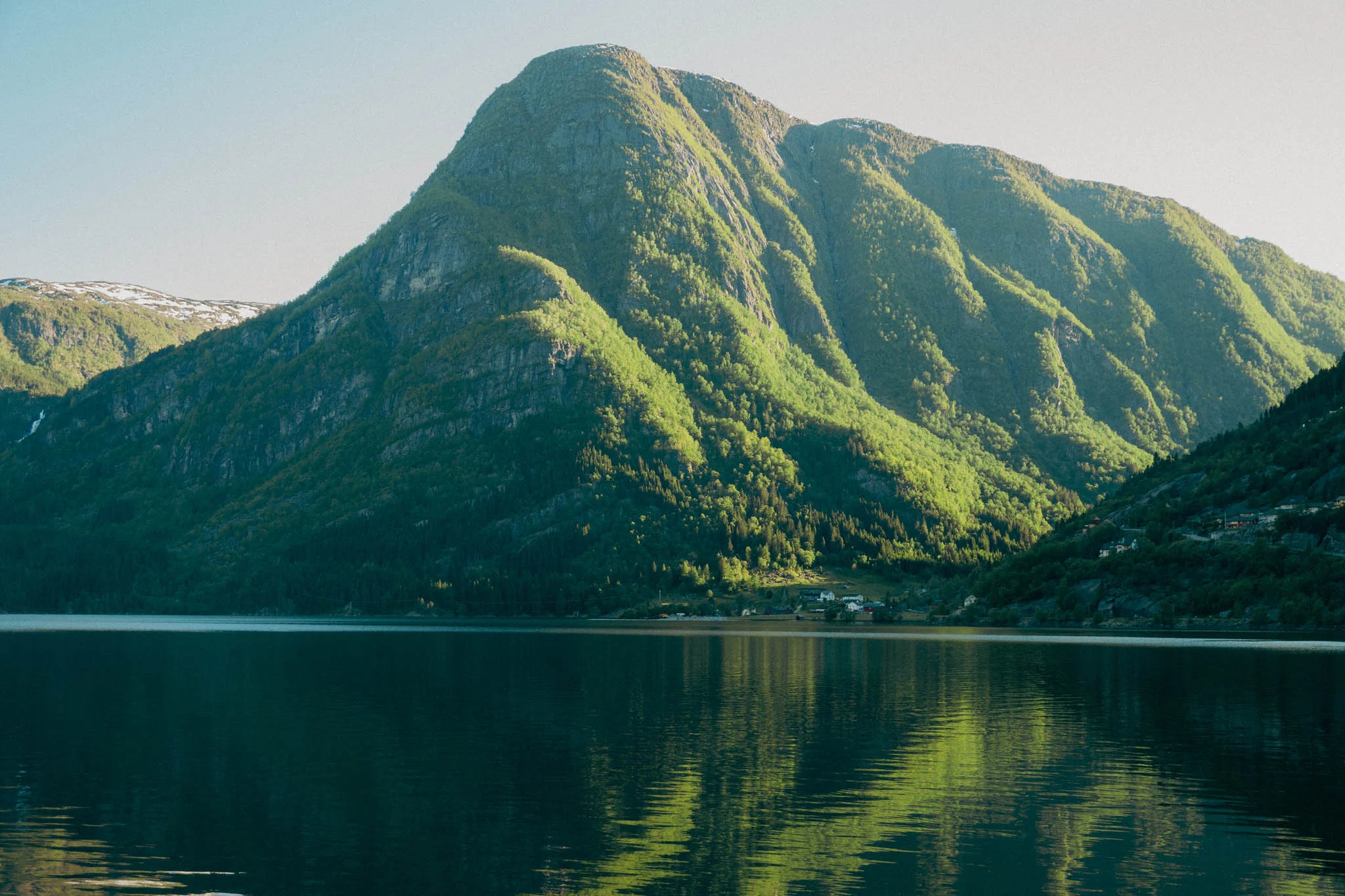
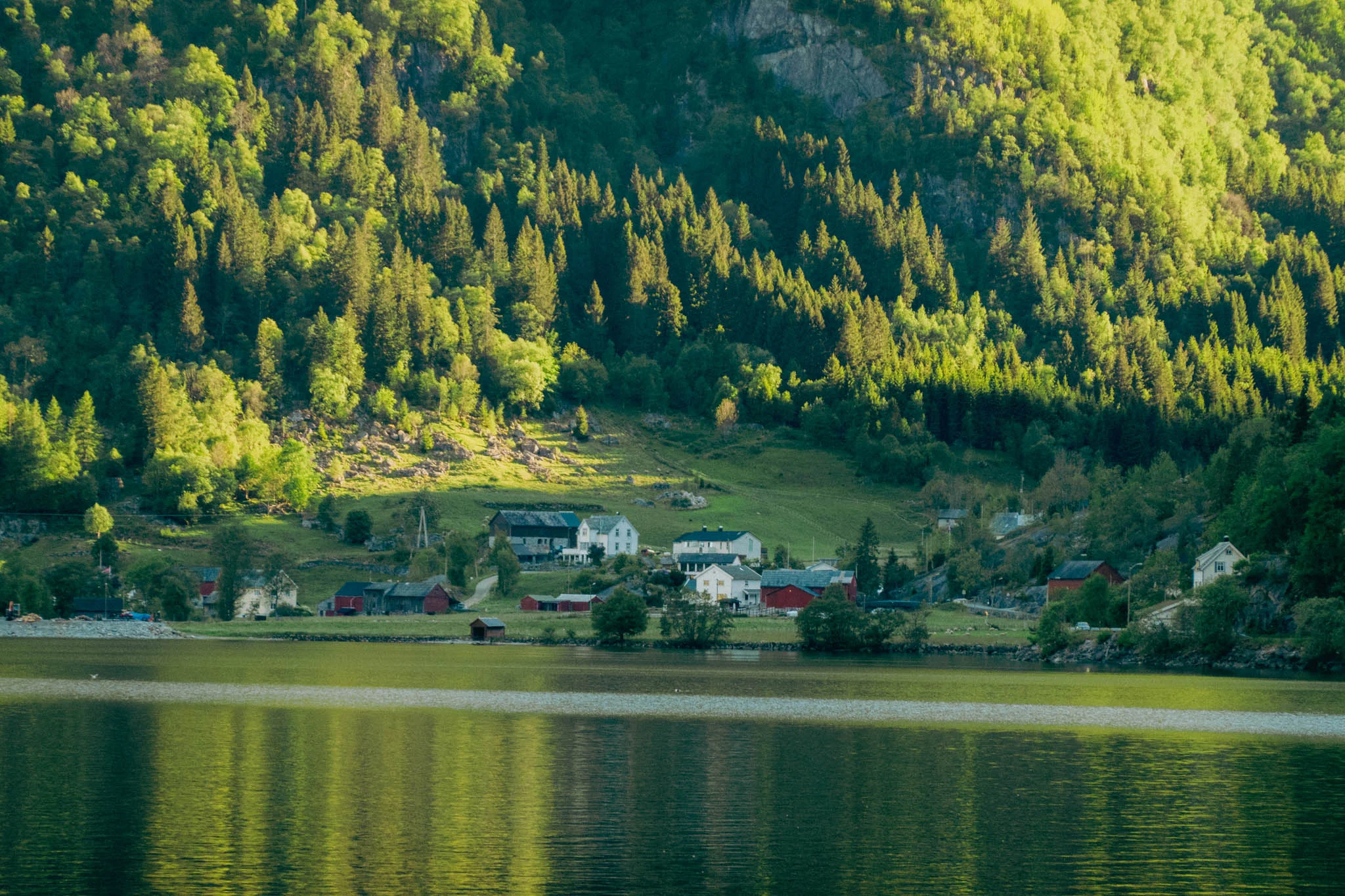
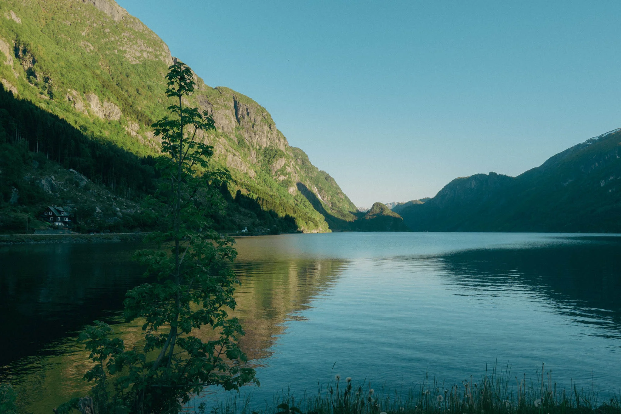
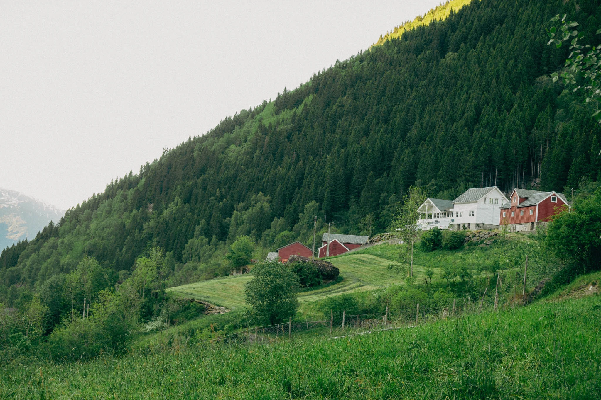
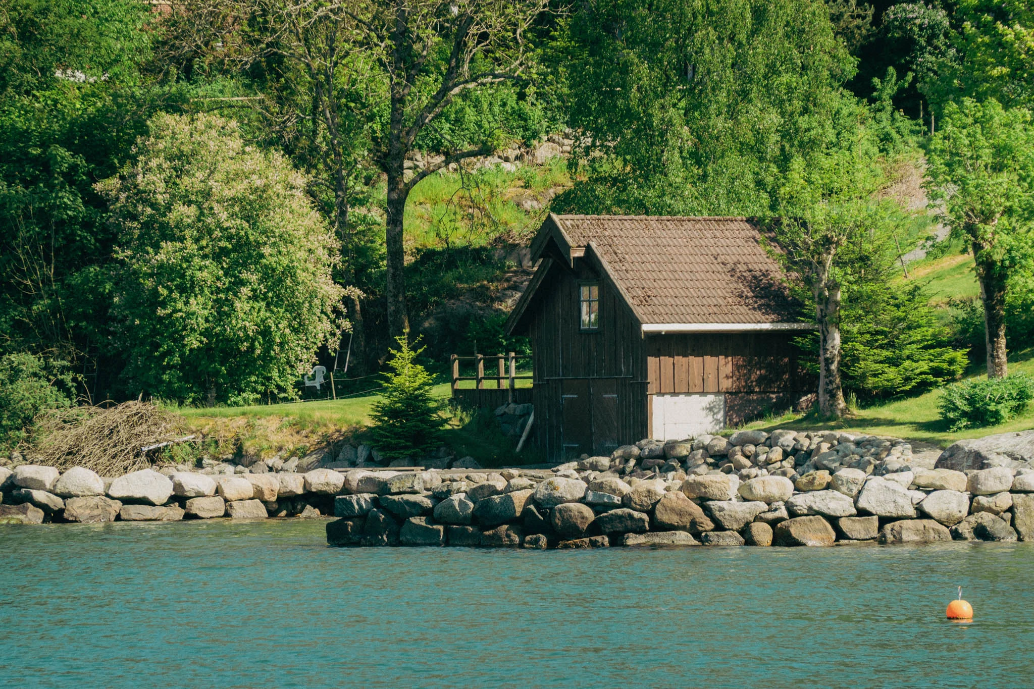
Along the way, we passed several waterfalls, incredible mountain views, and drove alongside multiple fjords. The scenery was unlike anything I had seen before, and we pulled off the road as often as we could to take in the spectacular views.
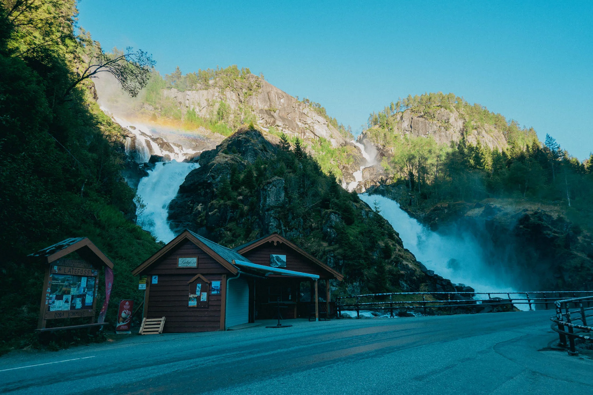

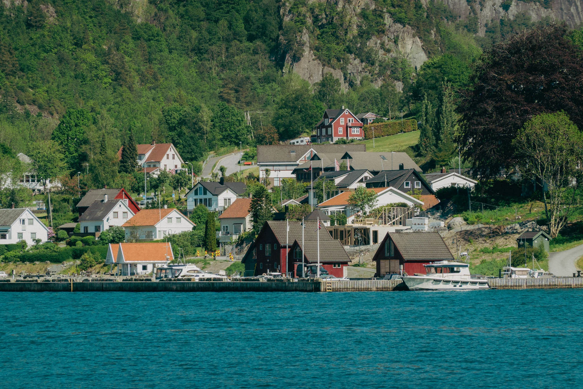
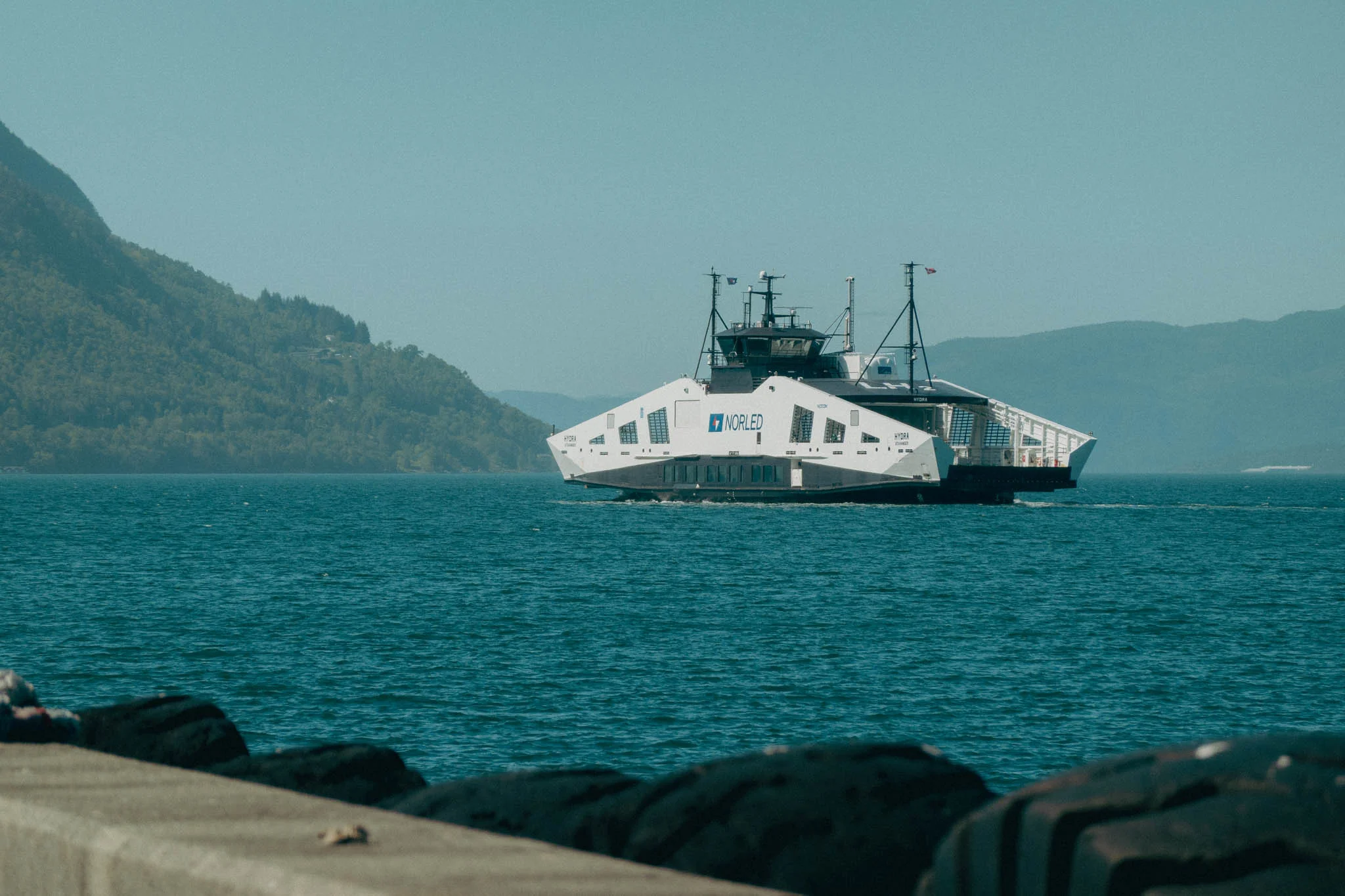
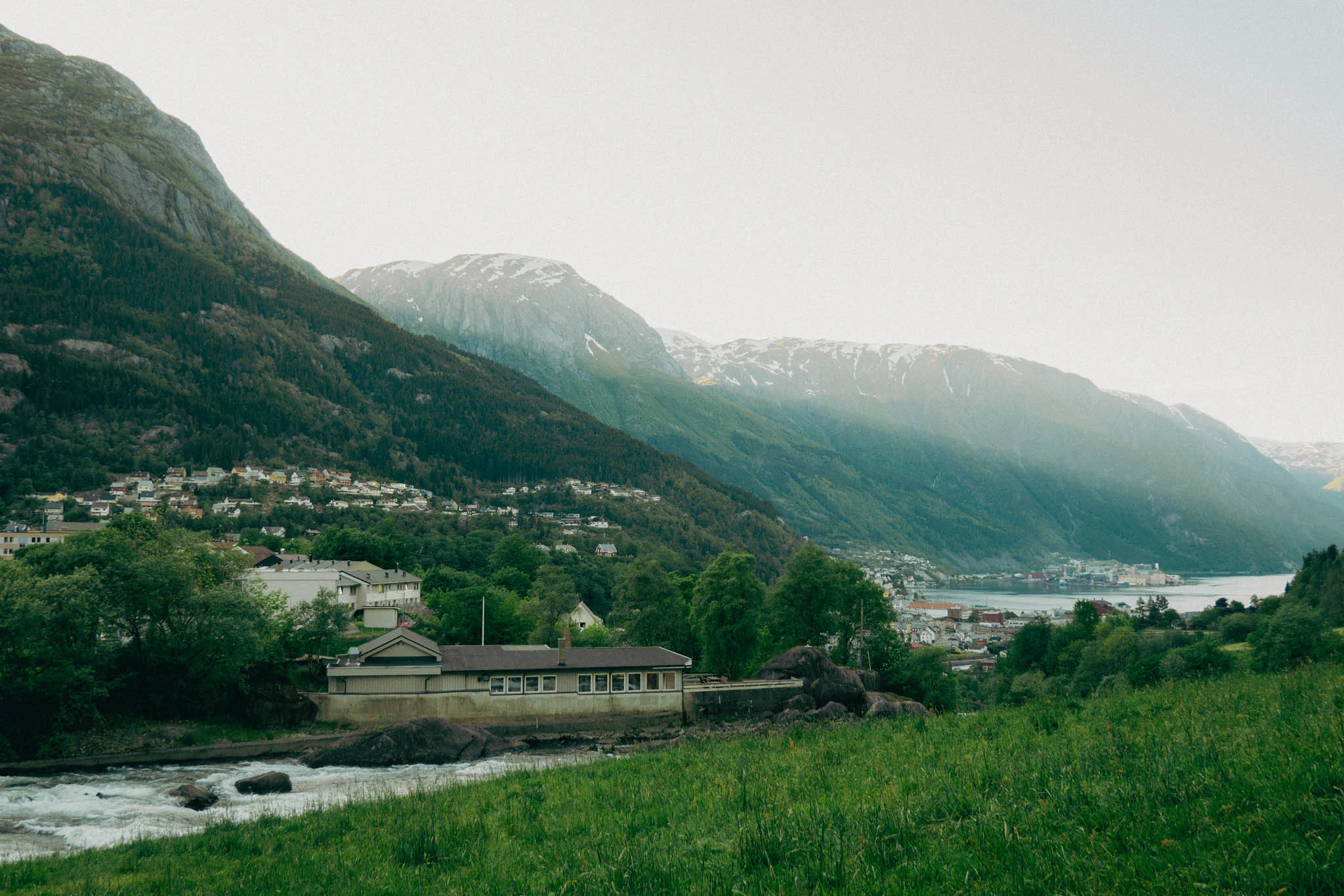
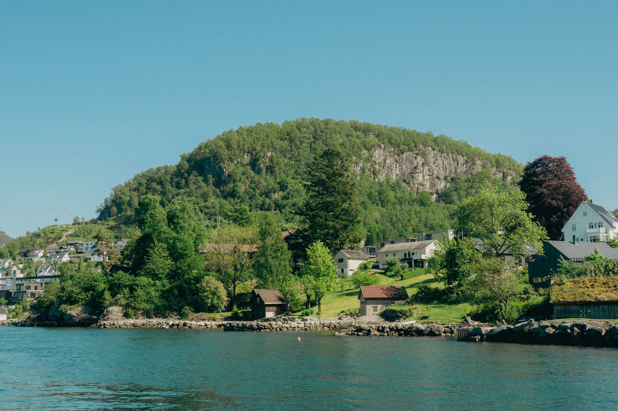

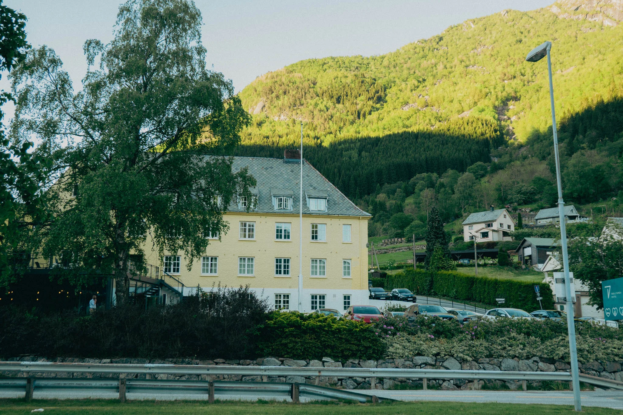
Odda is a small town on a fjord near the starting point of Trolltunga, the hardest hike we planned to do, and one of the hardest hikes in Norway. Our legs were already sore from the steep uphill ascent to Ritland Crater, and we were set to hike Trolltunga the next day.
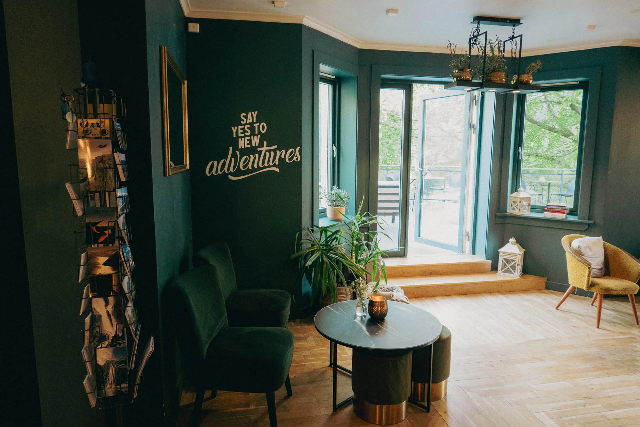
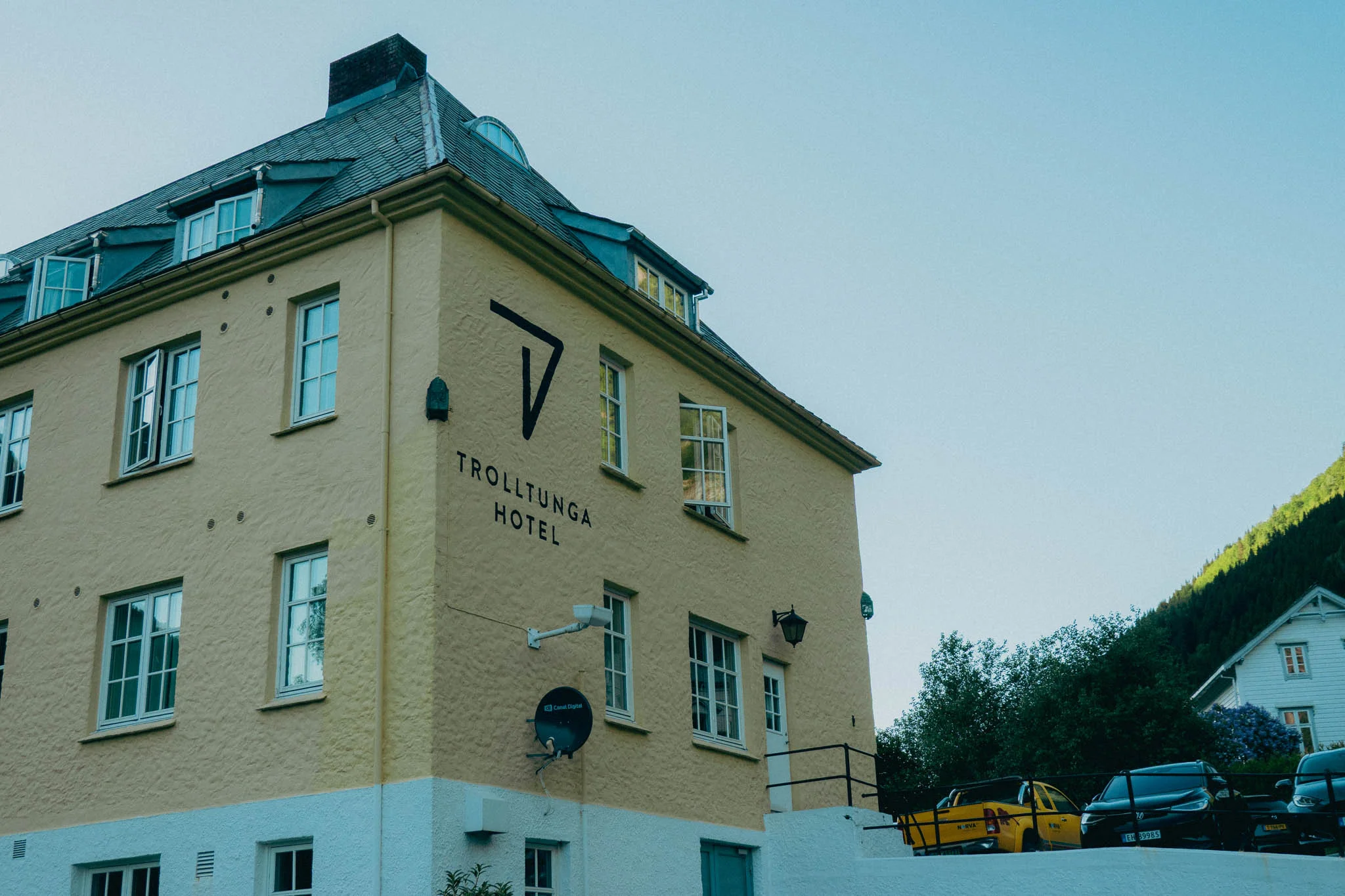
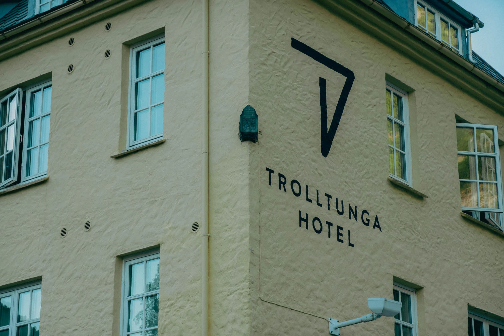
We stopped for a meal at the Trolltunga Hotel, and in the lobby of the restaurant there was some stylish typography painted on the wall that read “say yes to new adventures.” Certainly a well-timed message on the eve of our most challenging excursion.
After dinner we checked in to our airbnb and watched some youtube videos about hiking Trolltunga before going to bed early to rest up for our big hike the next day.
See ya when I see ya
-Doug


Comments