Chapter 13: Battling 30 MPH Winds on our Kvalvika Beach Hike and Exploring Reine
- Doug Newton

- Mar 17
- 5 min read
Kvalvika Beach Hike in Fierce Winds, Epic Mountain Views, and Wandering Reine Village

Waking up the next morning after our Trolltunga hike, we were surprisingly less sore than we anticipated. We loaded up the car for a three-hour drive to Bergen where we’d ultimately catch a flight to Narvik in the Arctic Circle.

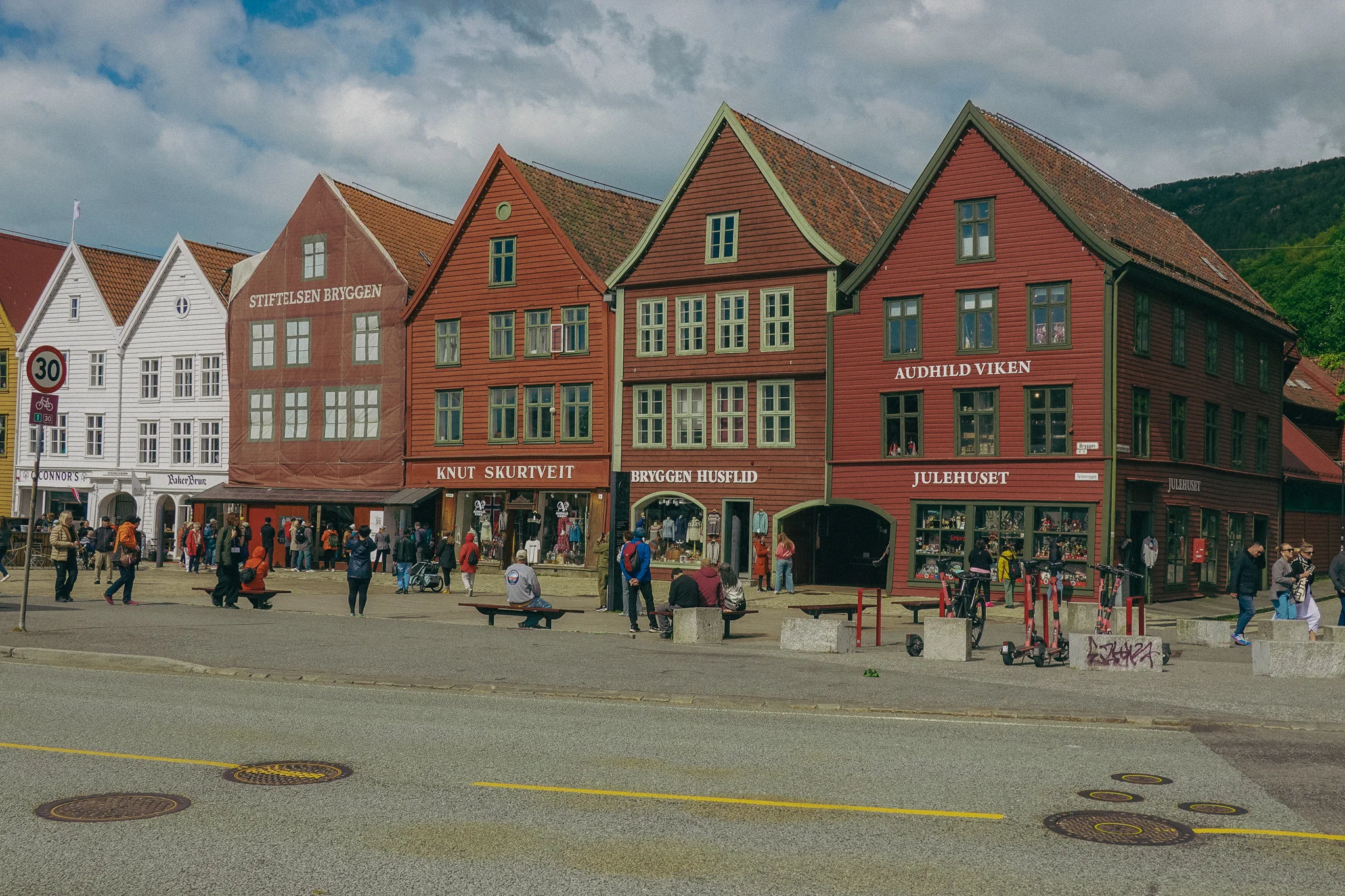
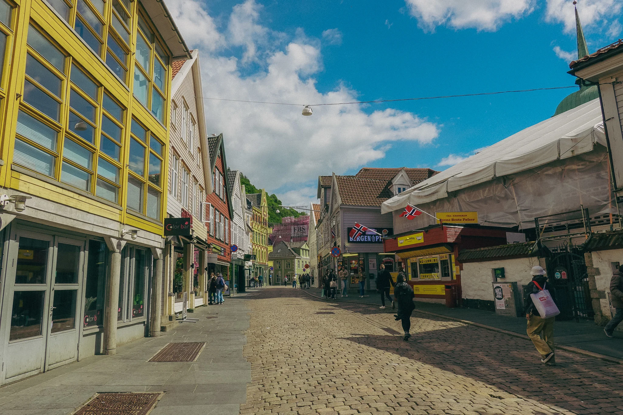
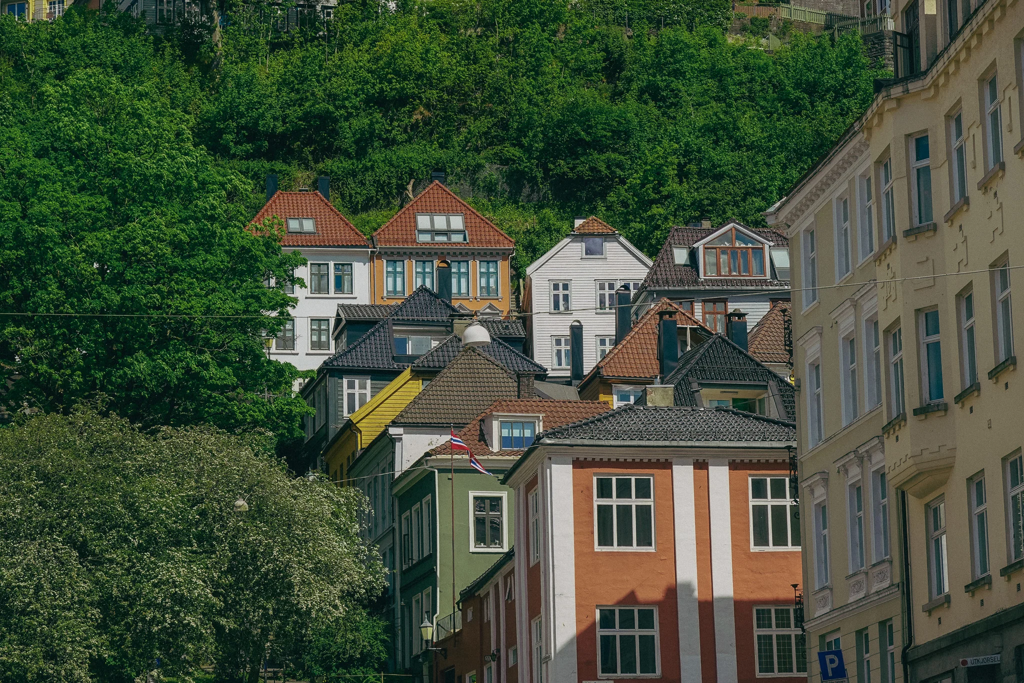
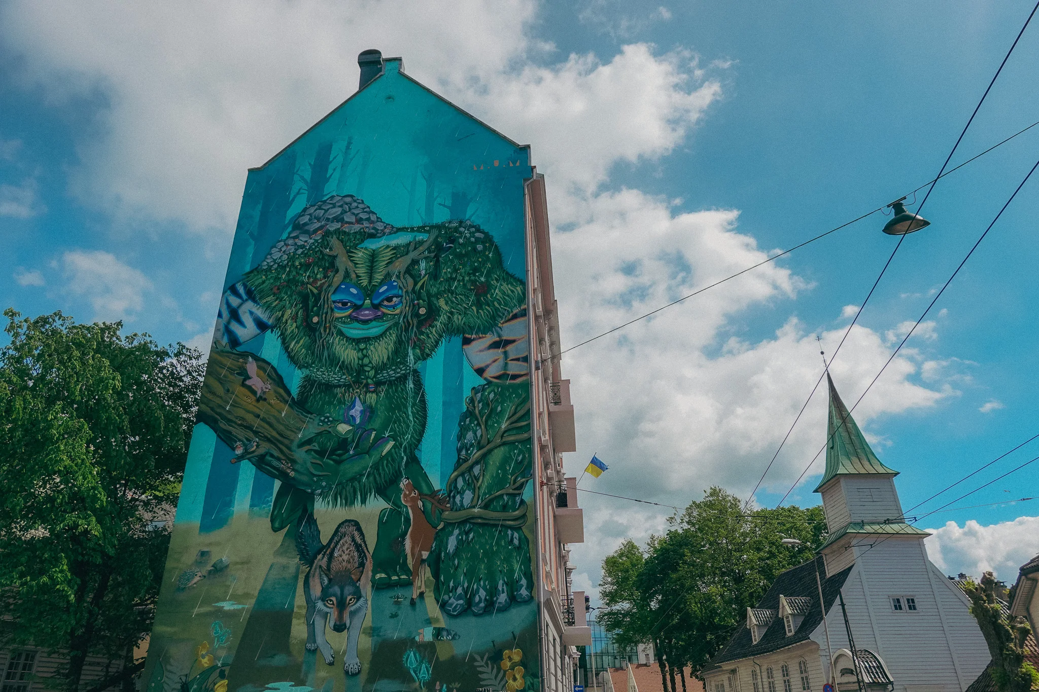
After winding our way along the fjords, hopping on more ferries, and taking in the breathtaking mountain views, we finally made it to Bergen. We only had a few hours to explore Norway's second-largest city, but we made the most of it by walking around the eclectic town and enjoying lunch by the waterfront.
Once we finished our meal, we headed to the airport to jump on our flight to Narvik. We landed around 10:30 PM, and since this part of the country is so remote, everything was closed. We ended up grabbing snacks and food at the one gas station near the airport and called it dinner.

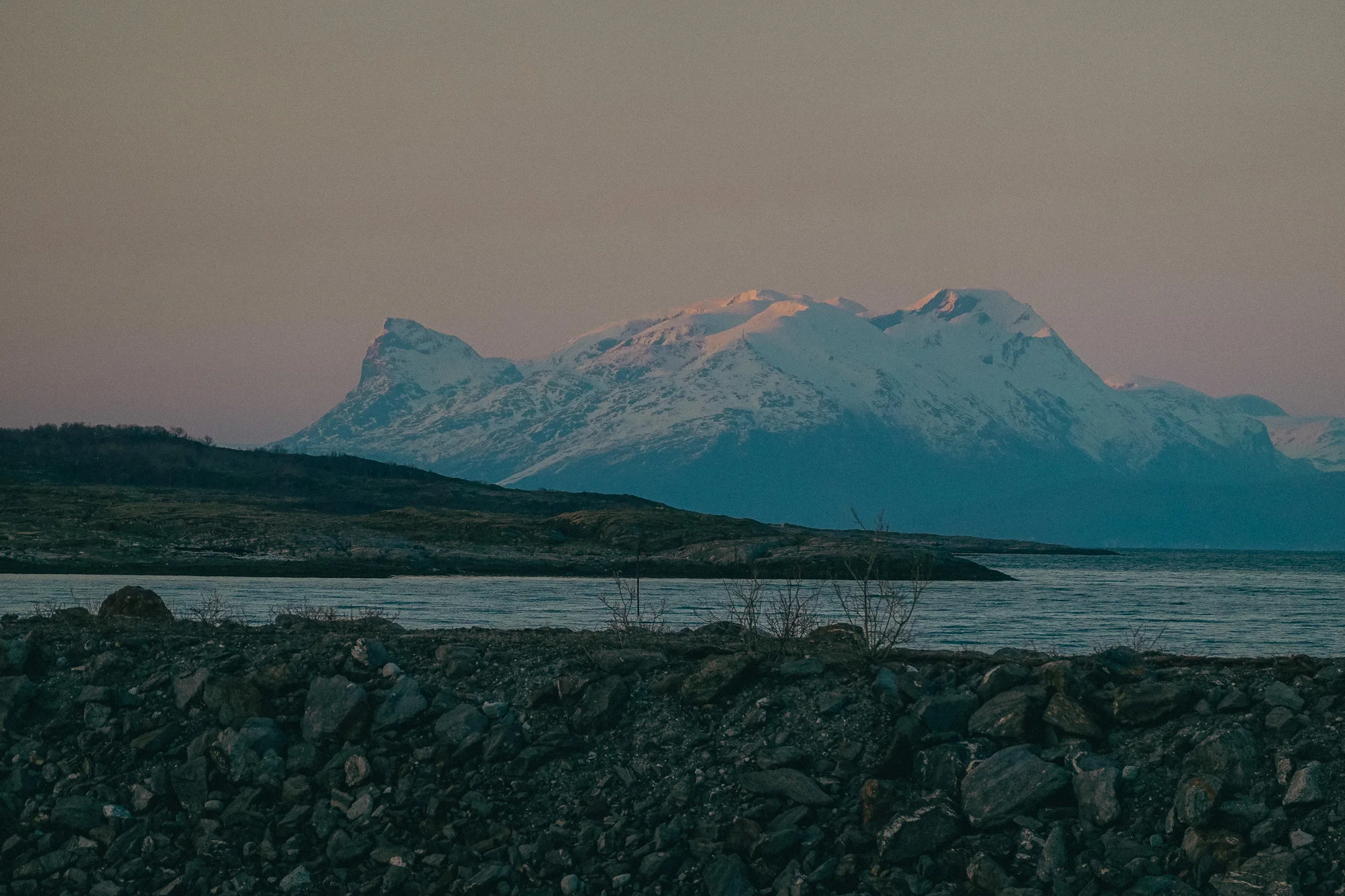
It doesn’t get dark in the Arctic Circle during the summer months. Since it was mid-May, the sun would dip below the horizon, but it would remain dusk all night until it turned to dawn. By the time we finished eating at 11:30 PM, it was golden hour, so we decided to explore a little. We stumbled upon a marina with beautiful snow-capped mountains beyond the water, so we stopped to walk around and enjoy the view.
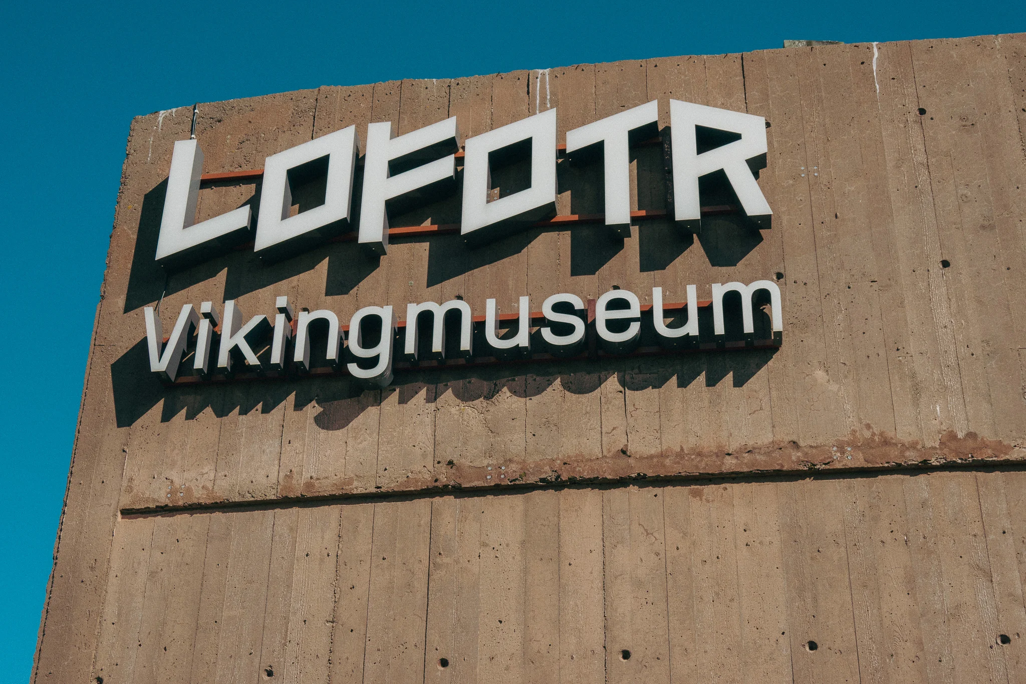
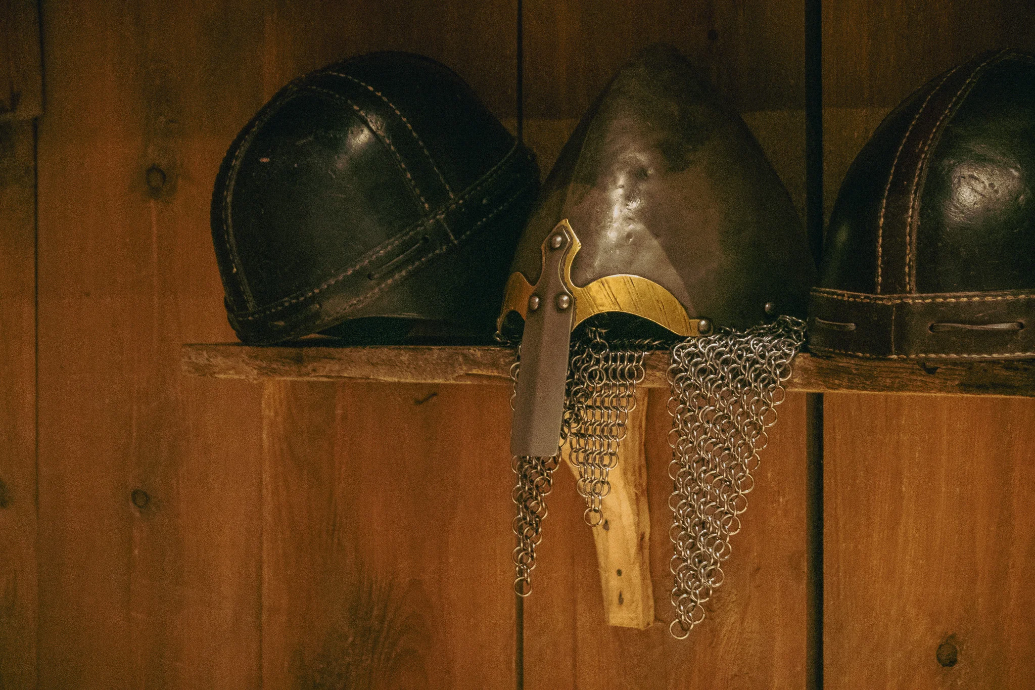
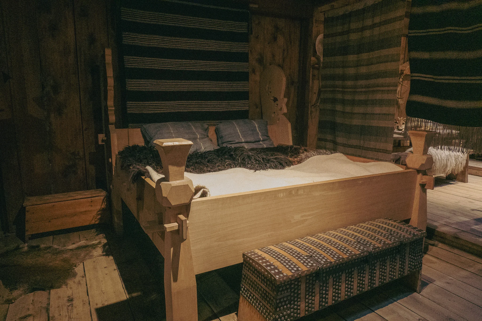
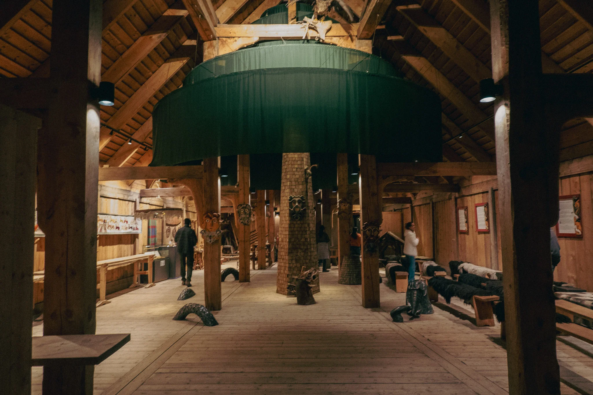
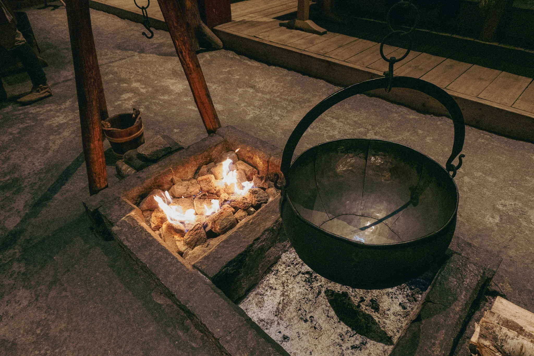
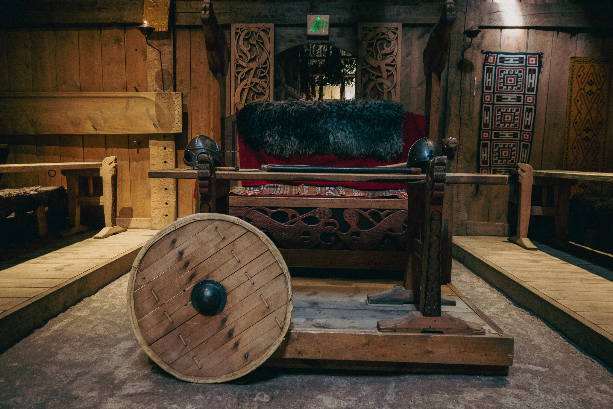
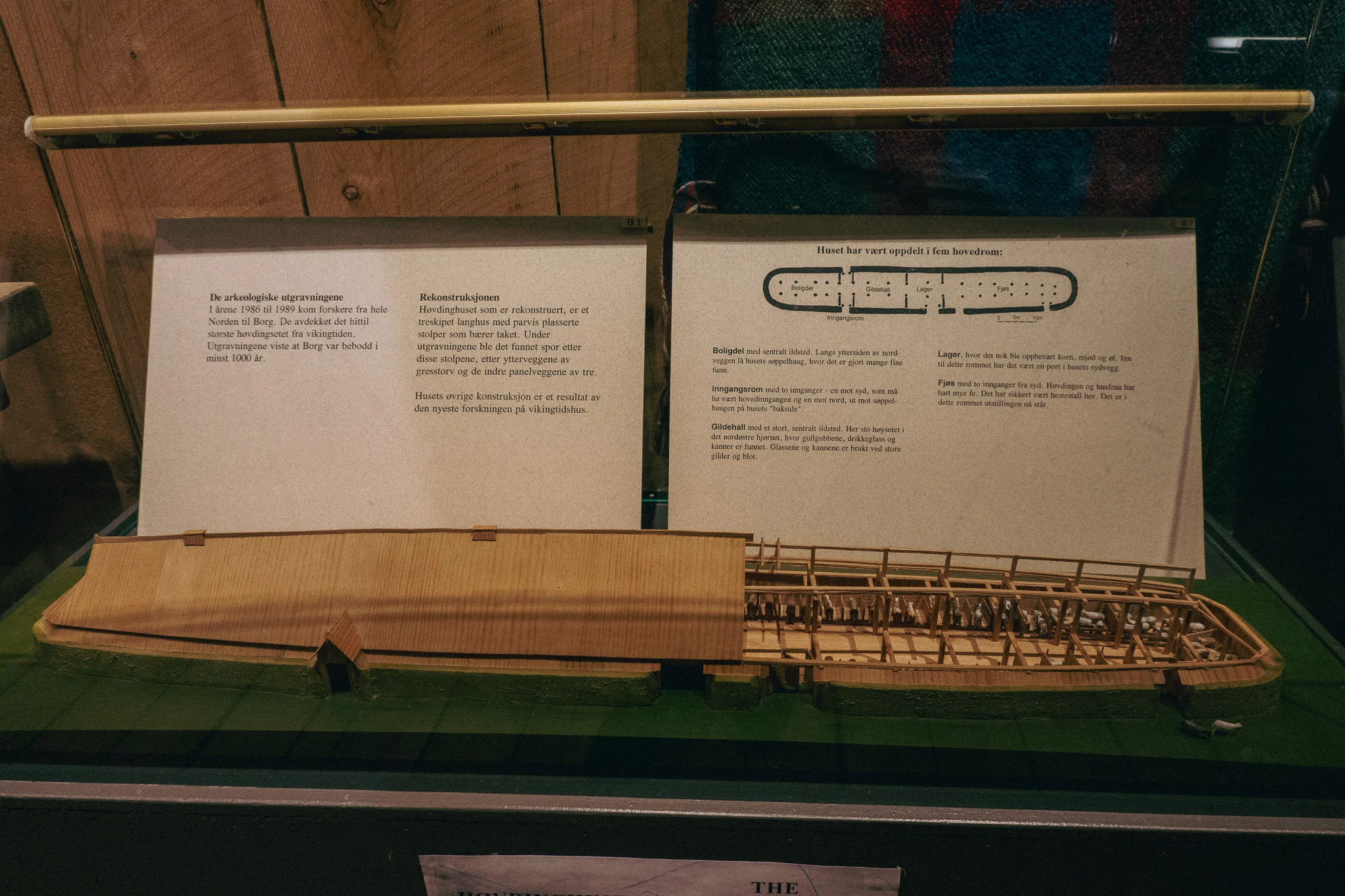
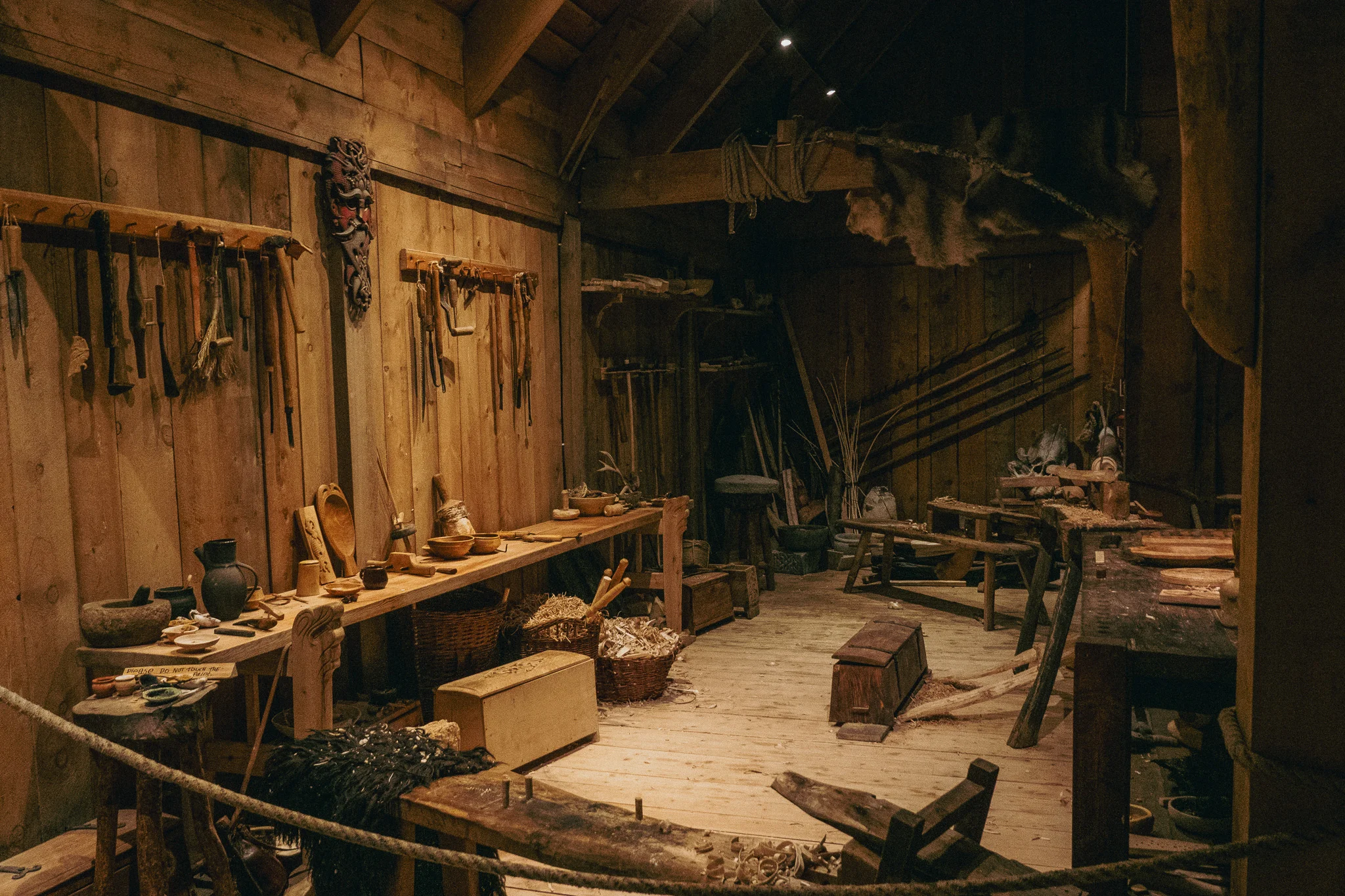
We spent the night in Narvik and got on the road early to wind our way south to the Lofoten Islands, where we were set to hike Kvalvika Beach. The drive once again boasted incredible mountain views, countryside, and waterways. Along the way, we discovered the Lofotr Viking Museum and decided to stop in to break up the trip.
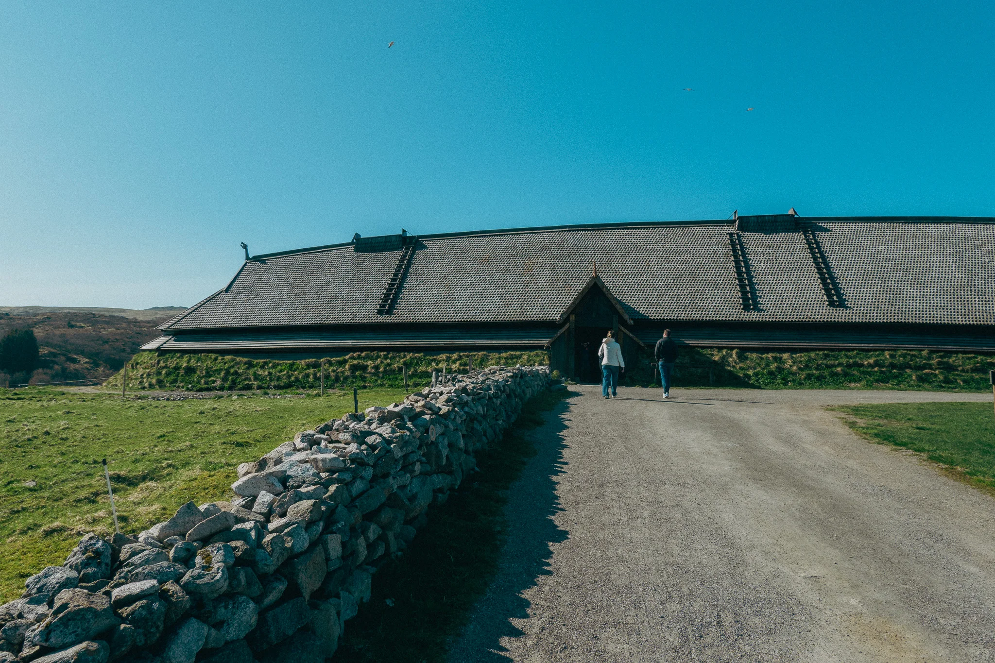
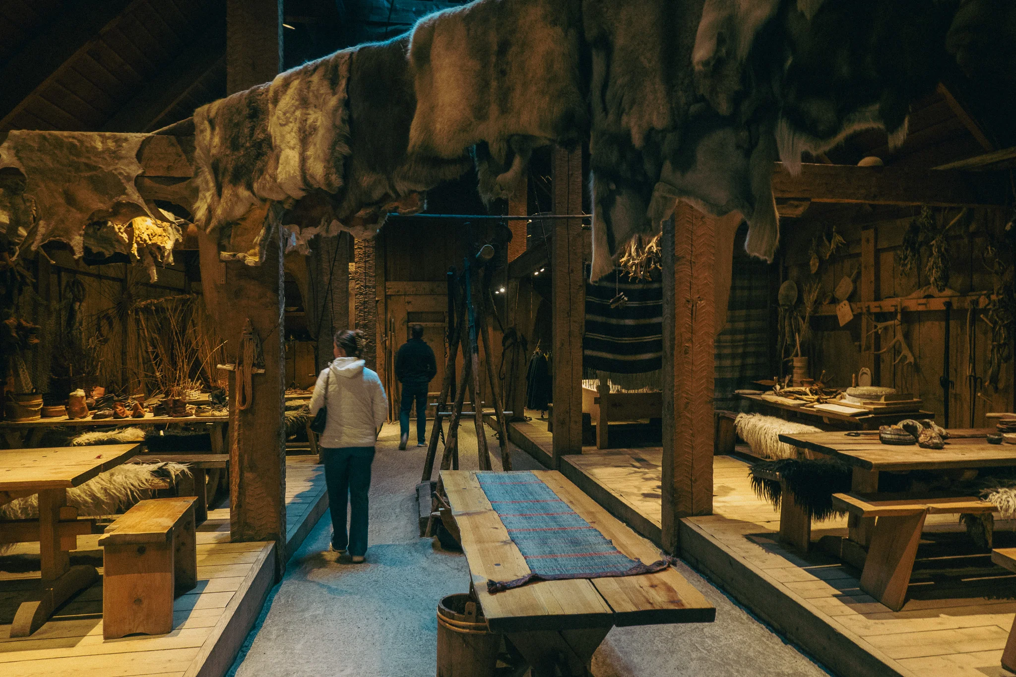
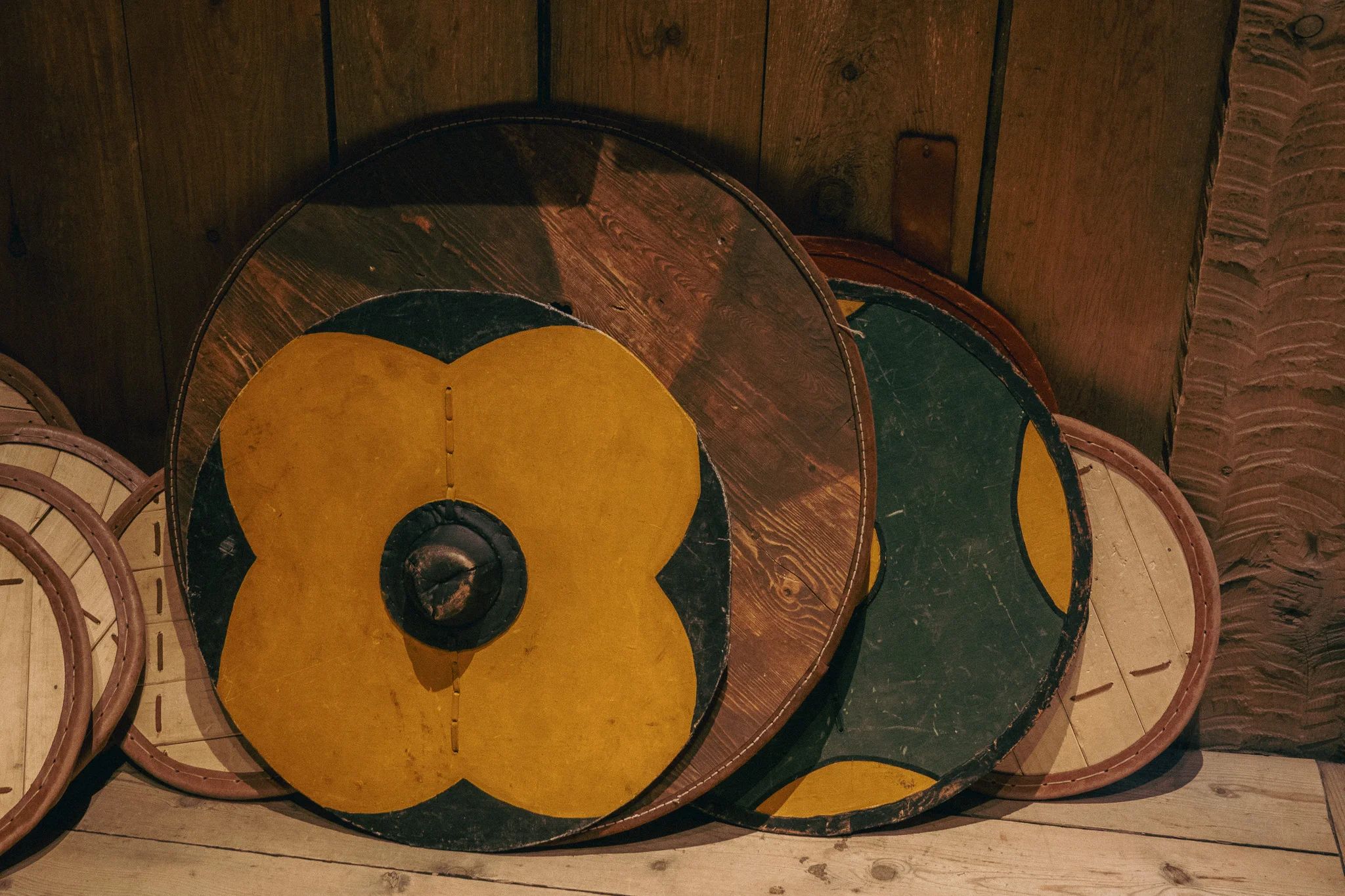
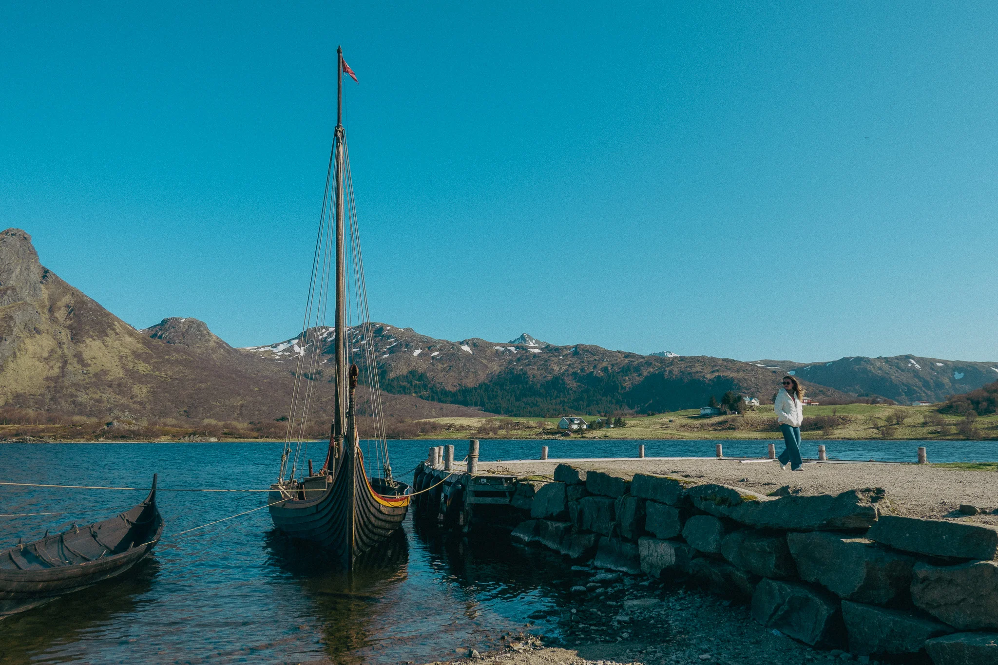
The museum is a reconstructed traditional Viking longhouse, which I had never seen before. We wandered through the museum, exploring the different rooms, which had displays of various Viking weaponry, helmets, cookware, and sleeping quarters. Beyond that, we were able to walk down to the shore to see authentic Viking ships, throw axes, and shoot bow and arrows. It was certainly a fun way to break up the drive.


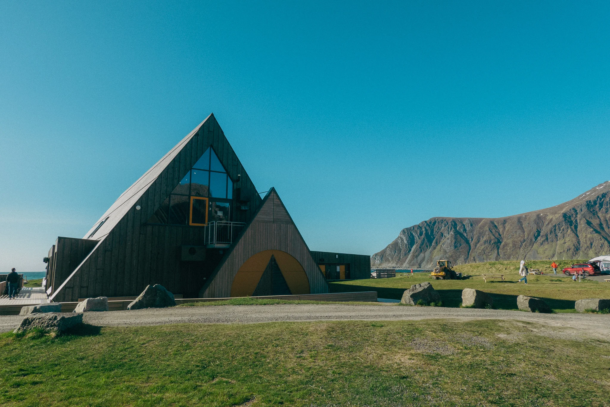
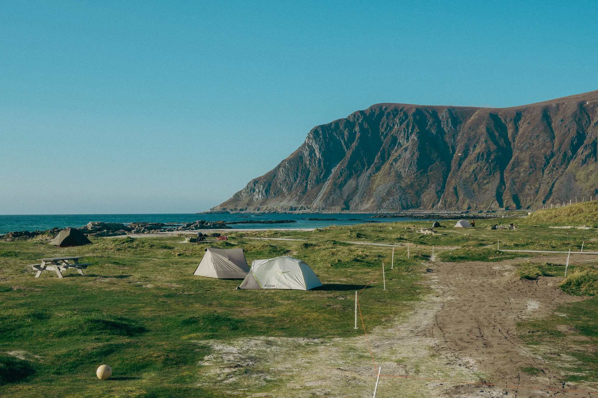
After exploring the museum, we continued our drive to the Lofoten Islands. As we neared our Airbnb, we decided to stop into a cool beachside campground called Lofoten Beach Camp. The campsite was right on the beach, surrounded by mountains, and had a unique pyramid-shaped bar and restaurant where we enjoyed a few beers and soaked in the view.
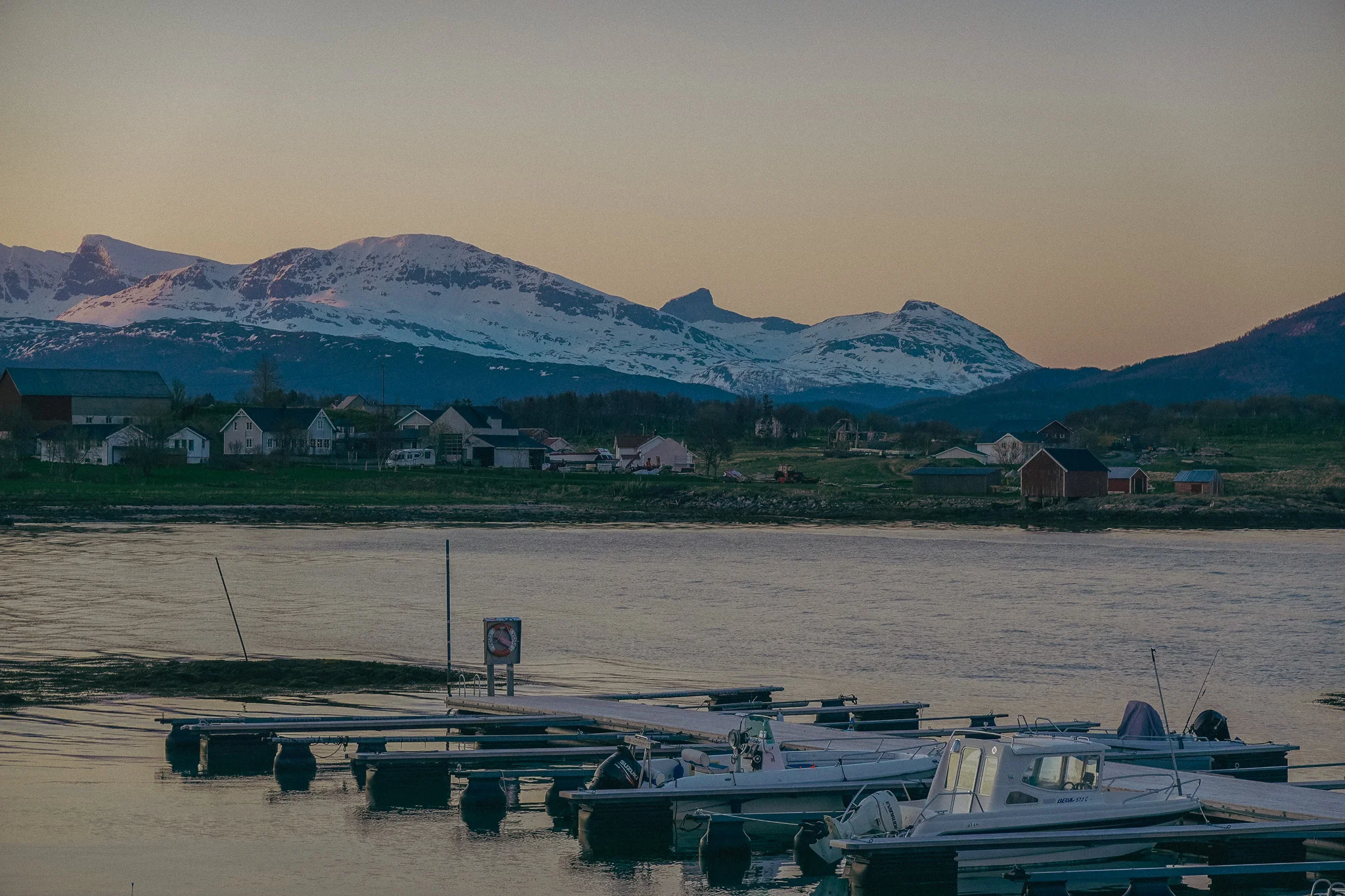
We finally made it to our Airbnb, which overlooked a marina and had a fantastic view of the mountains. However, this is where the perpetual dusk really threw us for a loop. Hunter and I decided to stay up and enjoy a few more beers. Because it doesn’t get dark, we finally looked at the time, and it was 2:00 AM. Whoops.

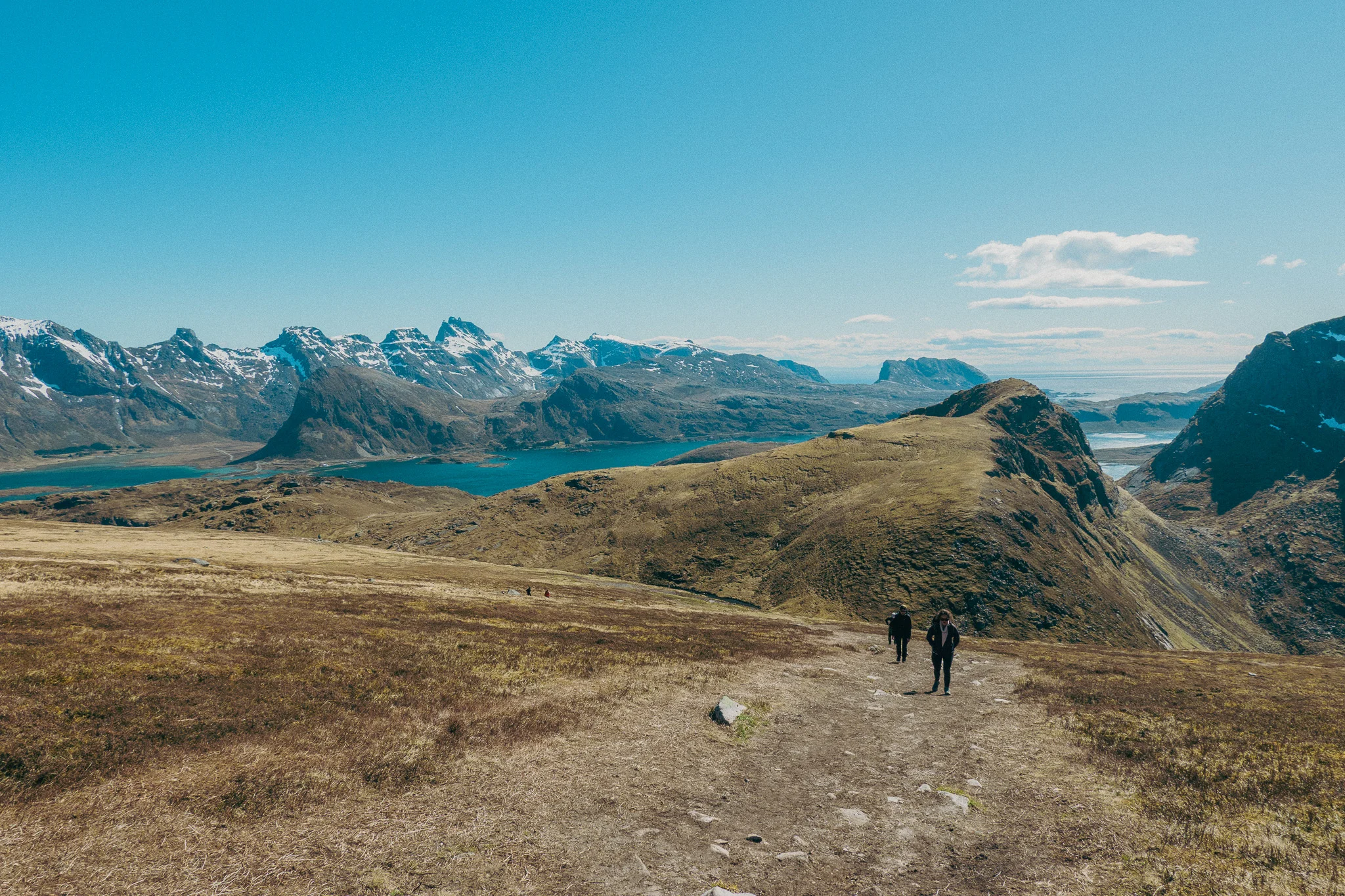
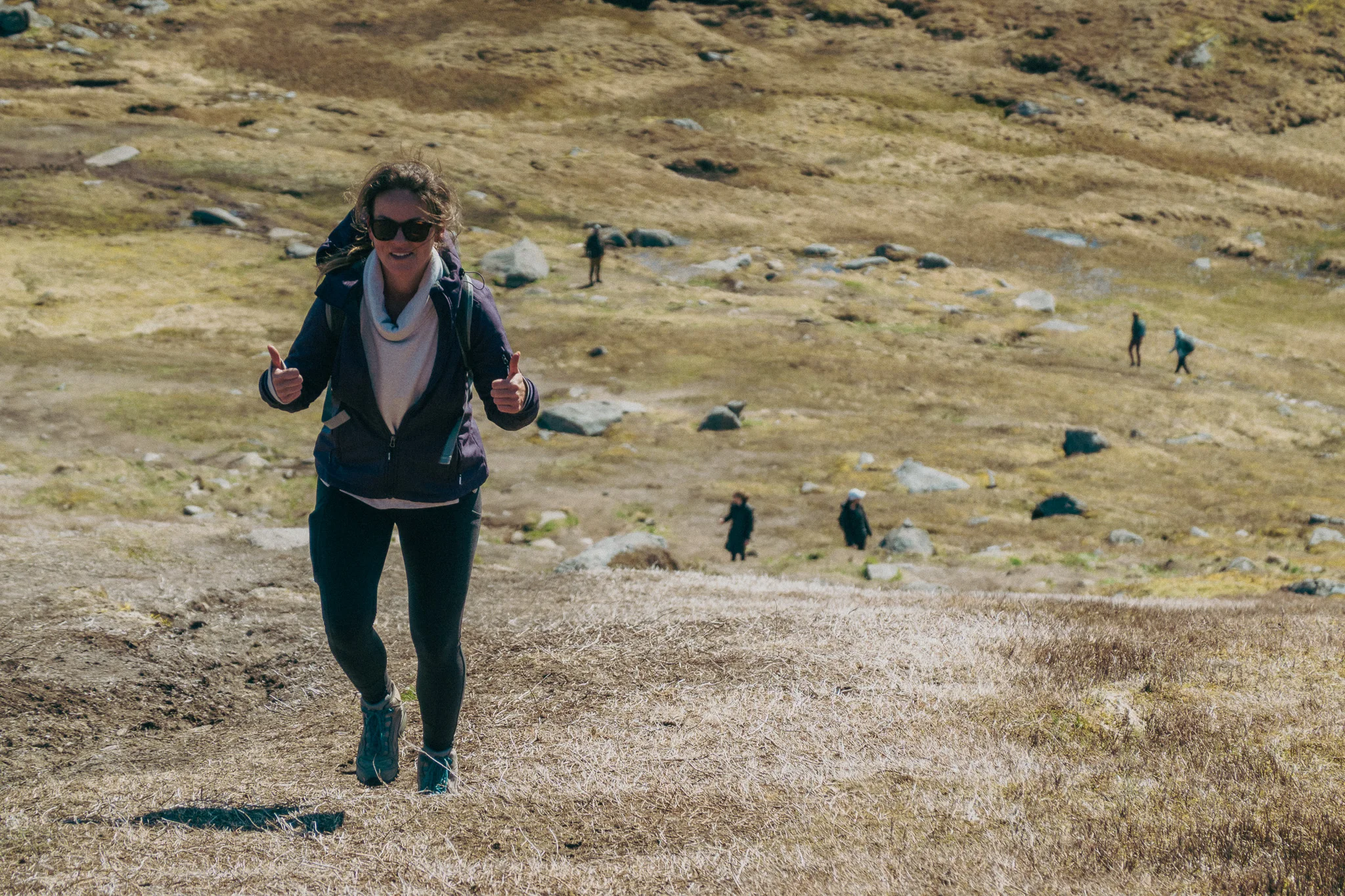
The next morning, we geared up to hike Kvalvika Beach. After stopping for breakfast at a local coffee shop, we set out for the trailhead. The parking lot for the hike was at a remote farmhouse, and as soon as we stepped out of the car, we were immediately greeted by relentlessly strong winds. We knew this was going to be a battle.

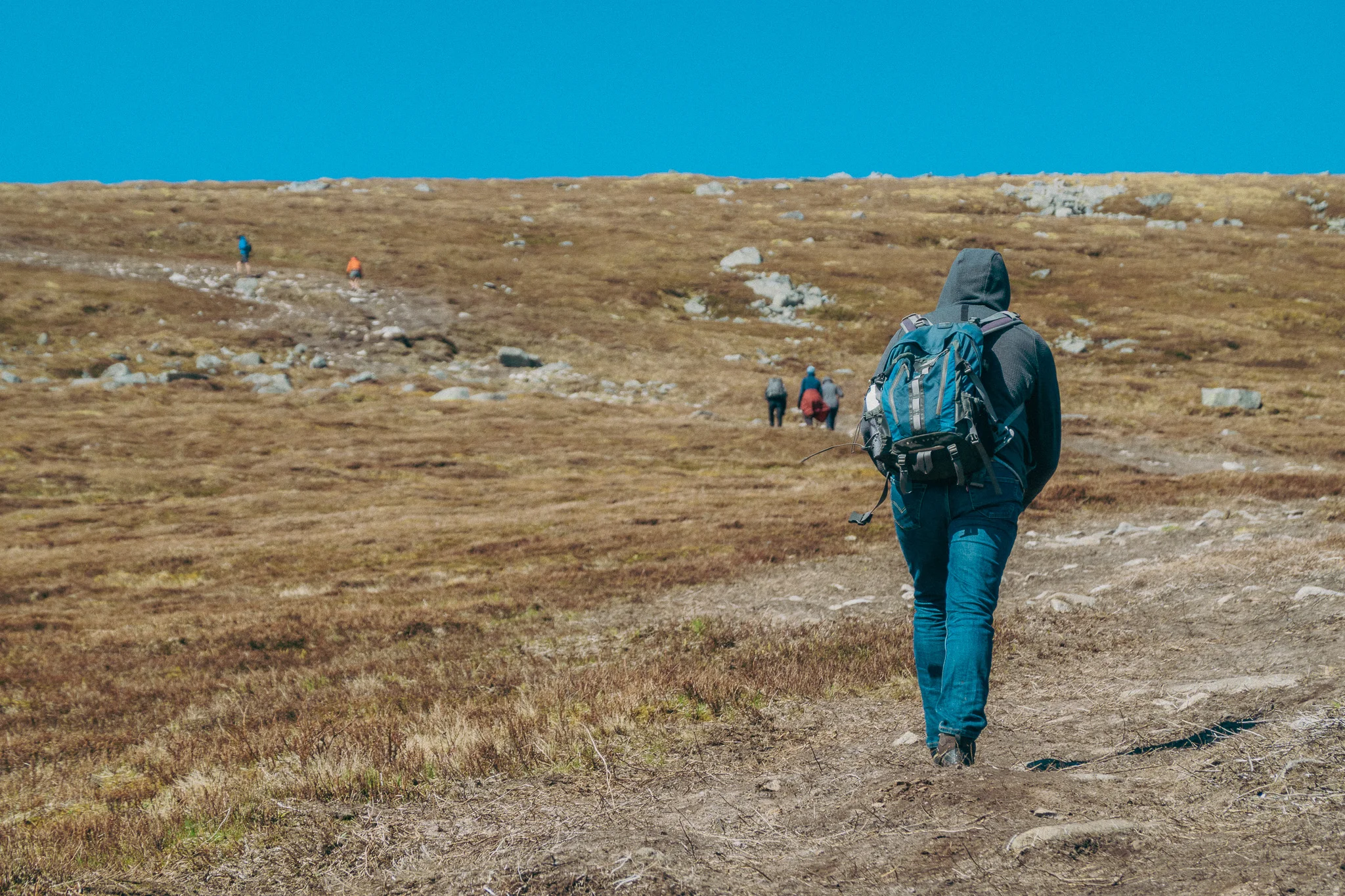
The beginning of the trail is on small wooden walkways that lift you above the marshland, but these planks are narrow and extremely aggravating to walk on. It felt like we were on them forever. We finally made it to the mountain and began our ascent up a steep, rocky switchback.

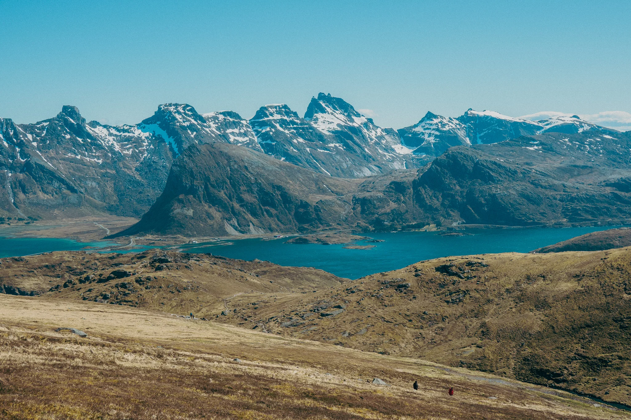
At this point, the wind felt like it was consistently gusting at 20 MPH. But as we continued our climb, the view of the beach and mountains took shape, which made braving the wind seem slightly more enjoyable.

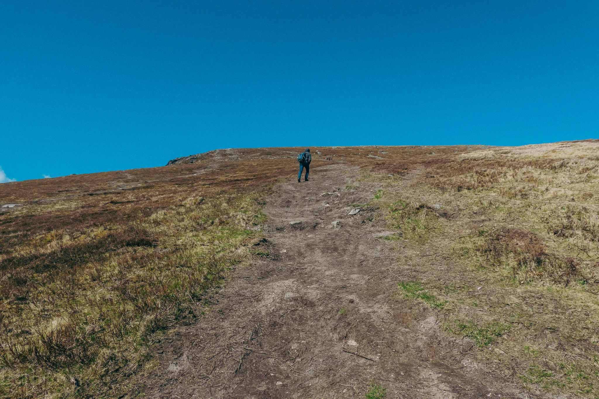
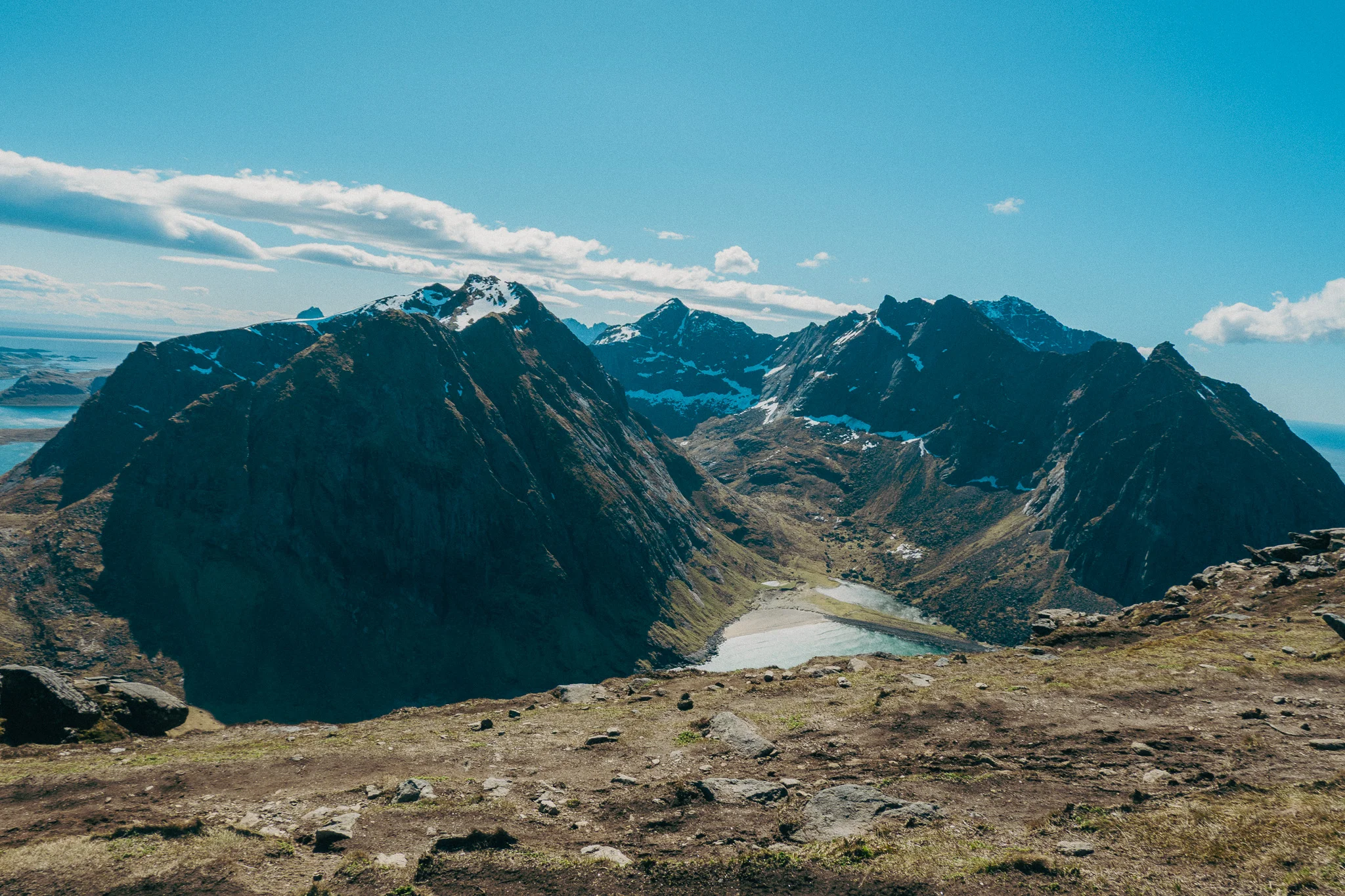
As we got to the top of the switchback, we were faced with the steepest and sketchiest section of a hike I had ever done. Even sketchier than the snow bridge on the Trolltunga hike. It was narrow, filled with loose gravel, and there was nothing to stop you on either side if you slipped and fell. The wind made it feel even more dangerous. I was only able to get a picture of it on the way down because I didn't want to pull my camera out on the way up.

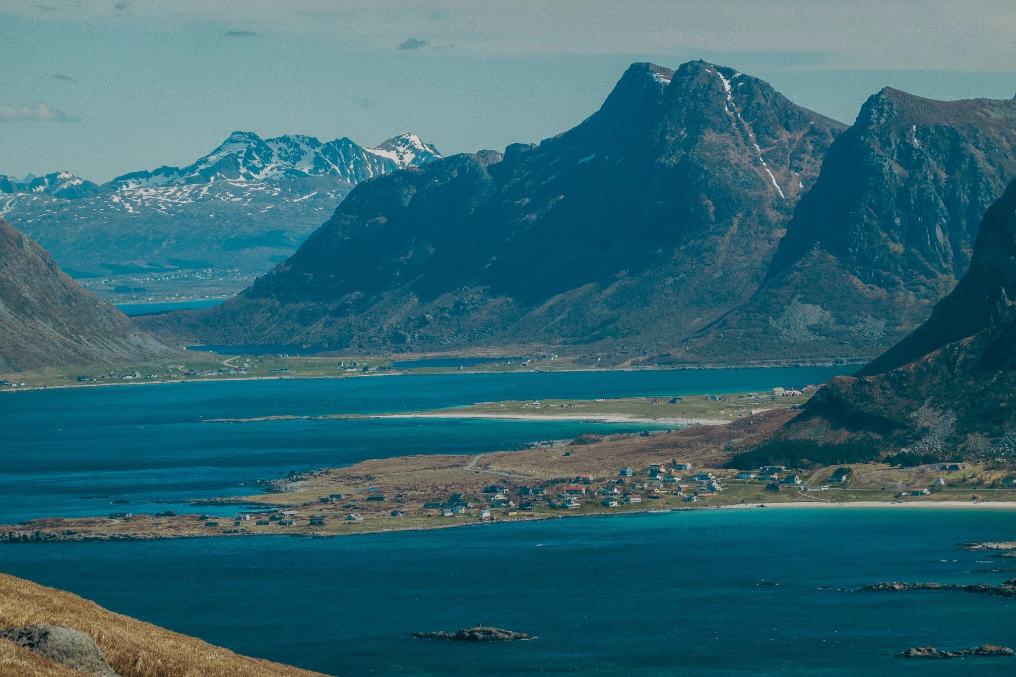
Fortunately, all three of us made it up without any issues, and the landscape leveled out. We encountered more wooden walkways as we traversed more marshland. At this point, we began to see the snow-capped mountains and water on the other side. The view was beautiful.


After we crossed the marshland, we finally got off the wooden walkways, but it wasn’t much better. We were faced with a steep uphill climb the rest of the way. There were no switchbacks, just us against the mountain and the wind. We had to stop several times on this part of the trail to rest and catch our breath. The strongest wind gust recorded that day was 32 MPH, but being that high up on the mountain, it felt like at least 40–50 MPH.
We finally made it to the top of the climb, and the view of the mountains and water was incredible. However, we actually couldn’t reach the edge of the cliff that overlooks the beach, because as we approached the edge the wind was unbearable. We decided to take cover behind a large boulder for a while to rest and enjoy the view.
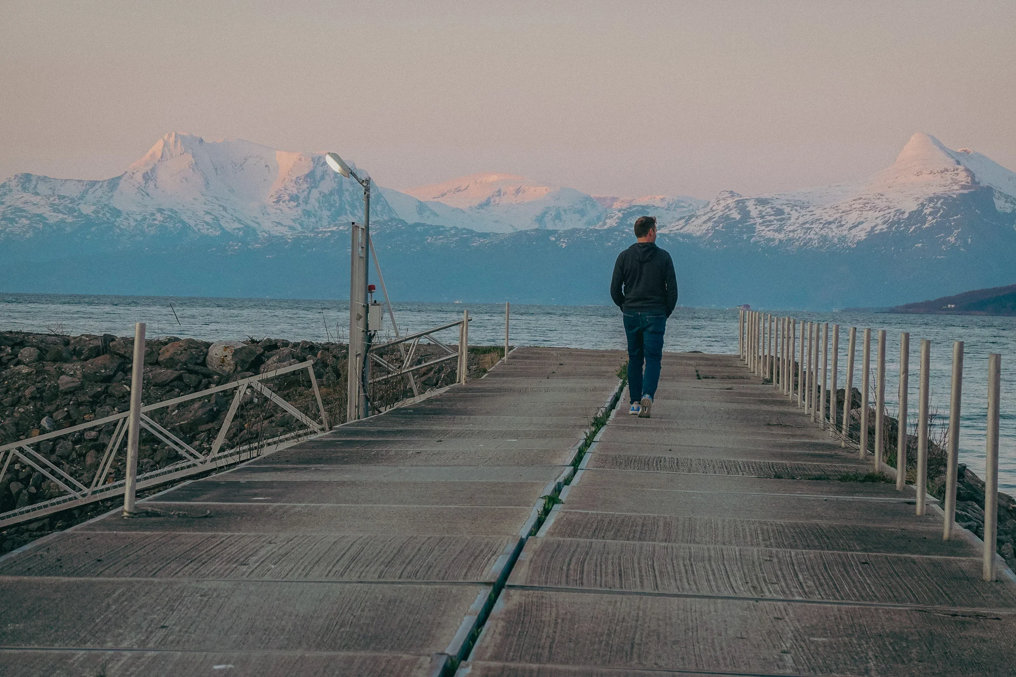
Fortunately, the way down was much easier with the wind at our backs. When we finally made it back to the car, we were relieved to get out of the wind and get out of our hiking boots. The straight uphill climb into the wind was brutal, especially having hiked Trolltunga two days before.
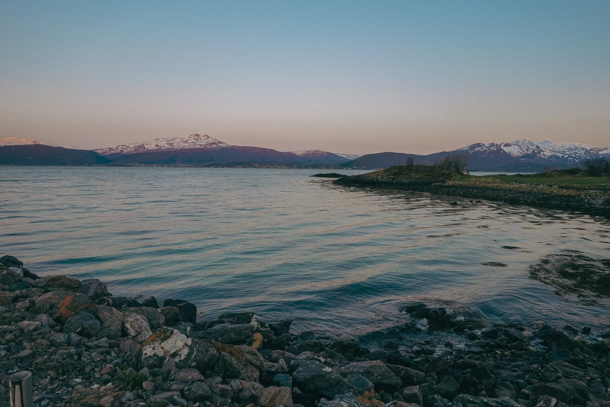
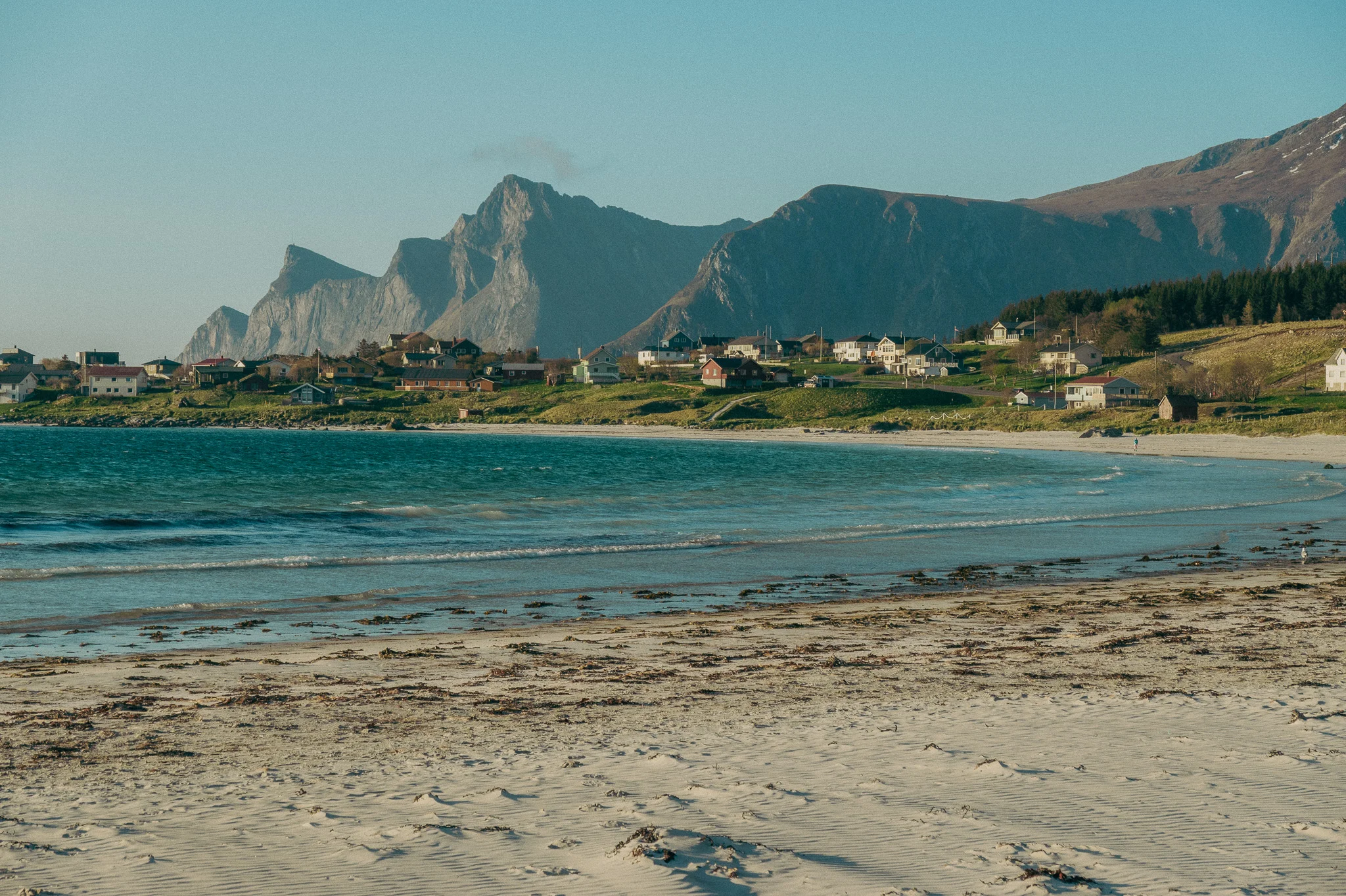
We got cleaned up at our Airbnb and decided to drive down to Reine, which is one of the most southern towns in Lofoten. This small fishing village, surrounded by mountains, is often featured on screensavers, and has been on my bucket list to visit for a while.
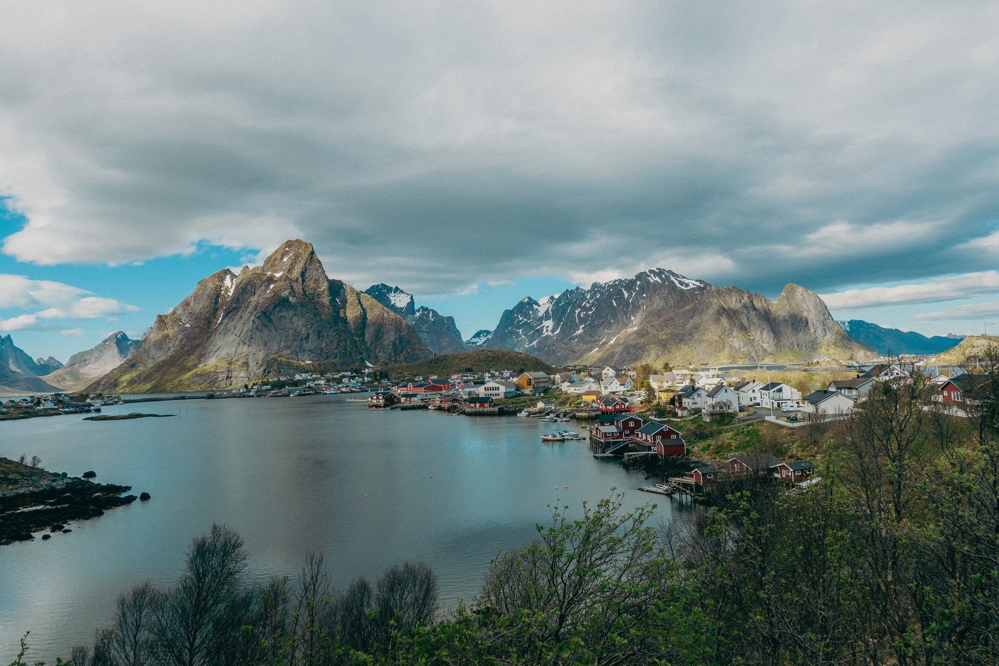
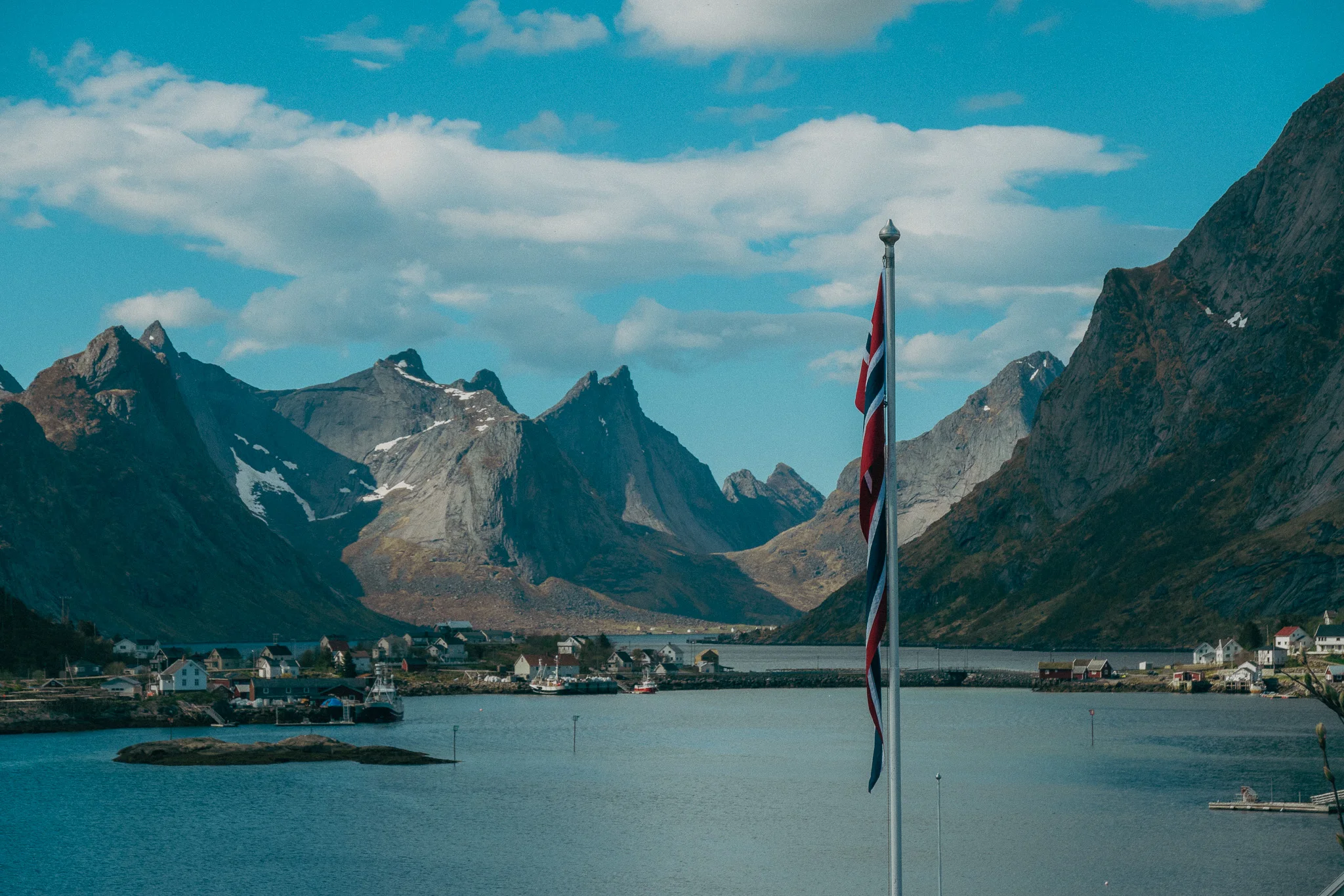
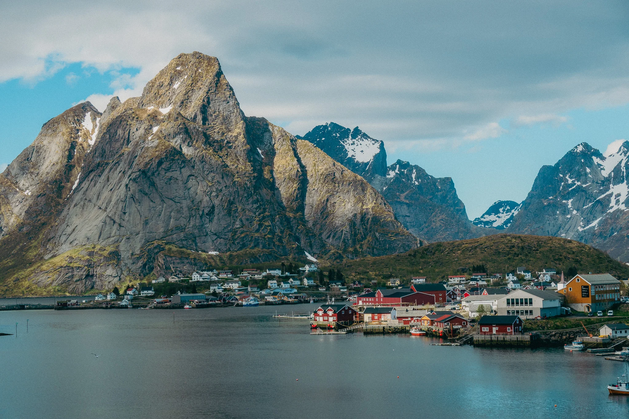
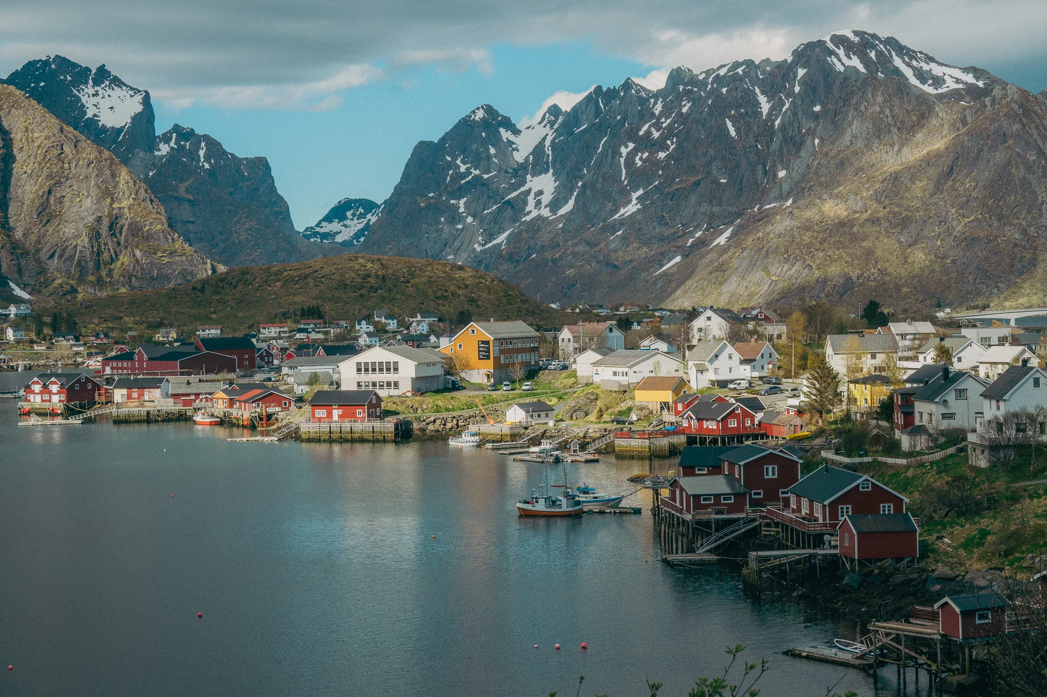
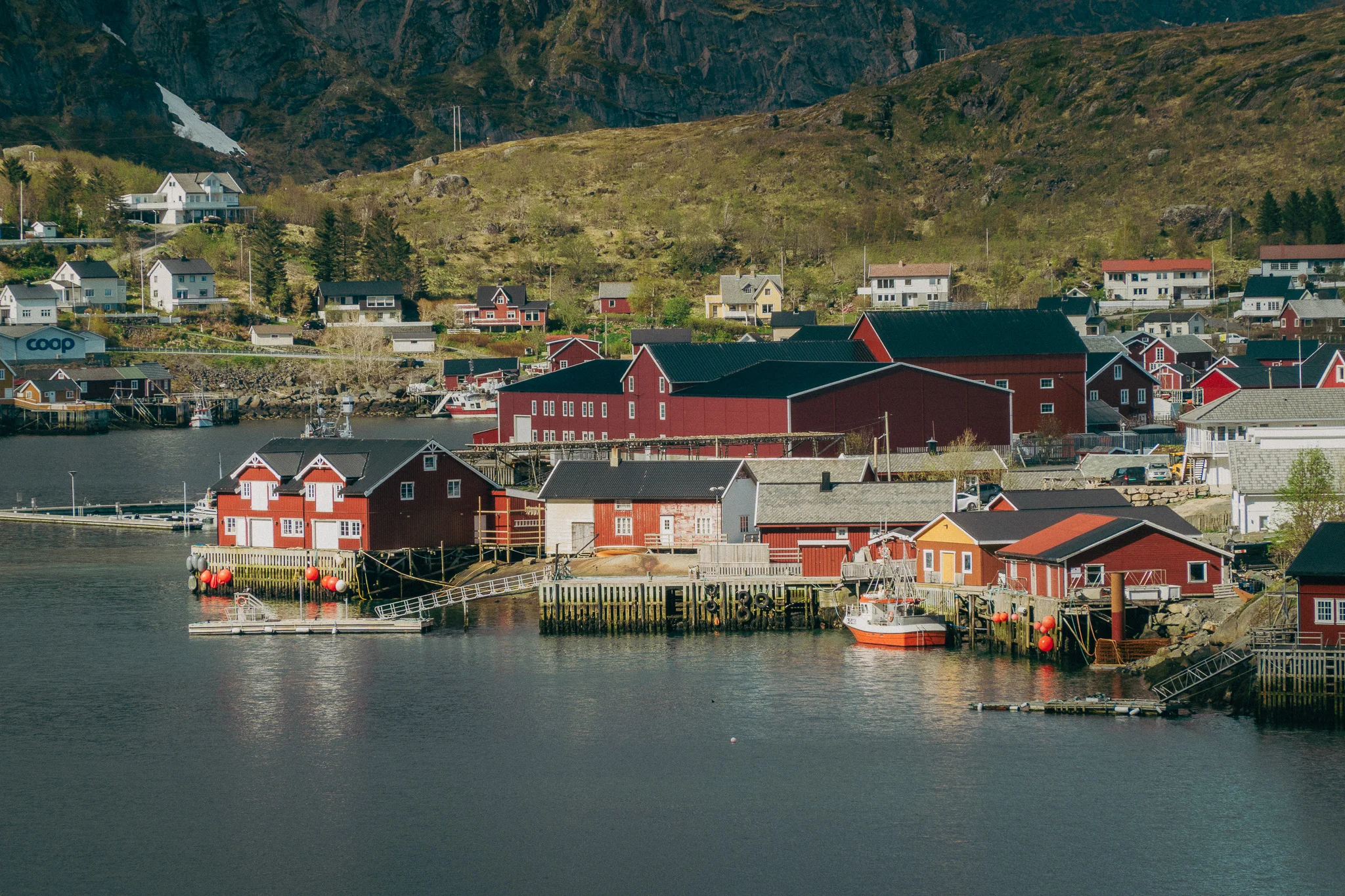
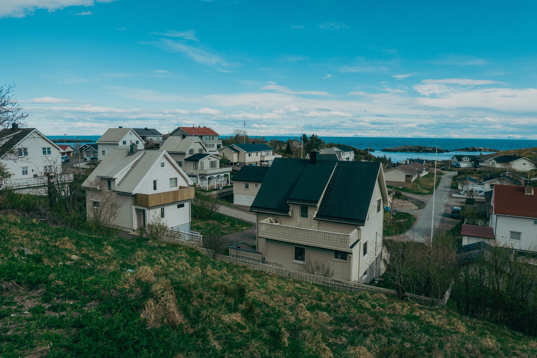
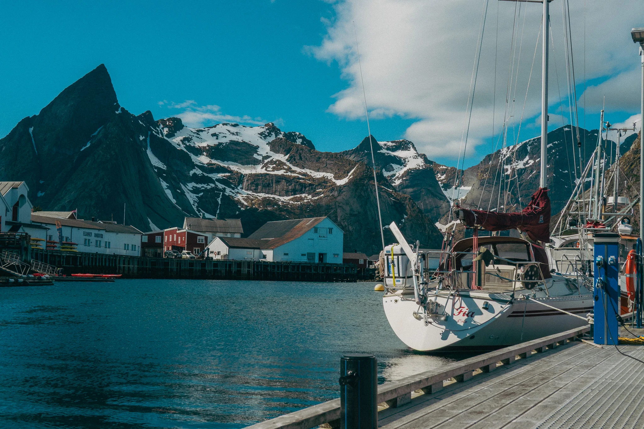
It was surreal to take in a view I had only ever seen on my laptop screensaver. The mountain formations surrounding the village are stunning, and the marina, small village houses, and water made this place feel magical. Beyond that, it was so quiet and serene. The perfect place to relax after a windy hike.
We wandered around for a while exploring the village before popping into a small pub for a couple beers, then found a nice cabin-like restaurant overlooking the water to enjoy our last dinner in Norway. Kelly, Hunter, and I toasted to all our adventures together and an amazing journey.

The next day Kelly was flying back to the U.S. and Hunter and I were flying to Greece to go relax on the beach on Ios island to recover after all of our hiking adventures.
See ya when I see ya
-Doug


Comments